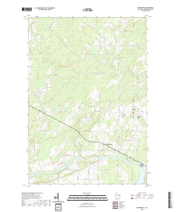
2022 Map of Porterfield
USGS Topo · Published 2022About this map
The Peshtigo River winds through the southern reaches of this landscape, anchoring a rural Wisconsin region defined by small crossroad settlements and low-lying wetlands. The community of Porterfield sits north of the river, while Walsh occupies the central corridor, and Bagley Junction marks the southeastern corner of the quadrangle. For genealogists and local historians, the presence of the Porterfield Lutheran Church Cem and Saint Joseph Cem provides critical points for family research in this part of Marinette County. The drainage patterns of Mud Brook, Twin Cr, and Gravelly Brook emphasize the wet, level terrain that dictated the development of the local road grid, which includes family-named routes such as Ross Ln and Panske Rd.
Find a feature on this map
63 named features on this map. Tap any name to fly to it.
Don’t see what you’re looking for? This feature index may not catch every label — zoom into the map to look around manually.
Map Details
Editions of this 2022 Porterfield Map
This is the sole edition of this map. No revisions or reprints were ever made.
Other maps of this area

1939 · Marinette
USGS Topo · 1:48,000

1939 · Porterfield
USGS Topo · 1:48,000

1942 · Porterfield
USGS Topo · 1:48,000

1942 · Wausaukee
USGS Topo · 1:48,000

1947 · Wausaukee
USGS Topo · 1:48,000

1949 · Stephenson
USGS Topo · 1:48,000

1954 · Escanaba
USGS Topo · 1:250,000

1957 · Escanaba
USGS Topo · 1:250,000

1958 · Escanaba
USGS Topo · 1:250,000

1963 · Porterfield
USGS Topo · 1:62,500