Loading...
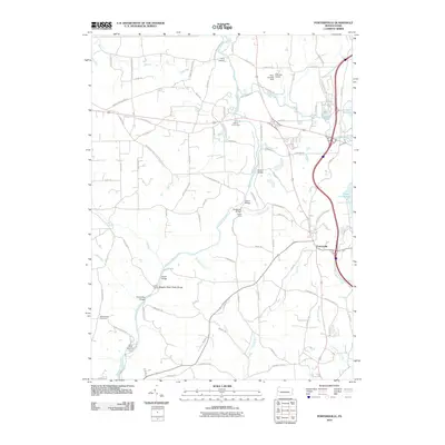
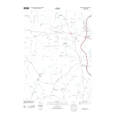
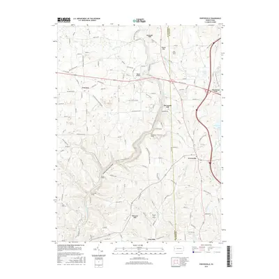
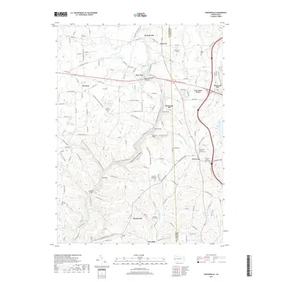
Loading map...1961 Map of Portersville
USGS Topo · Published 1990About this map
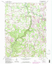
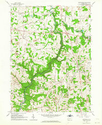
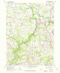
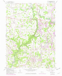
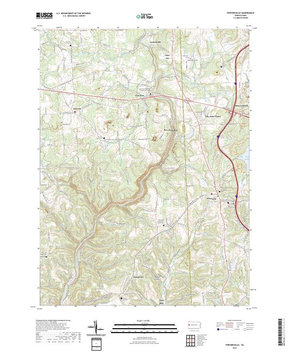
Slippery Rock Creek carves a deep path through this Western Pennsylvania landscape, defining the rugged character of McConnells Mill State Park. The 1961 data, updated with 1988 revisions, reveals a territory in transition where heavy industry meets preservation. Extensive reclaimed strip mines border the pristine corridors of Hell Run and Muddy Creek, illustrating the region's complex relationship with coal extraction.
Find a feature on this map
57 named features on this map. Tap any name to fly to it.
Don’t see what you’re looking for? This feature index may not catch every label — zoom into the map to look around manually.
Map Details
Date Portrayed1961
Date Published1990
PublisherU.S. Geological Survey
Map TypeTopographic
Scale1:24,000
Physical Dimensions22.1 x 27 inches
Editions of this 1961 Portersville Map
4 editions found
Historical Maps of Portersville Through Time
6 maps found
Featured Locations
Source Details
SourceU.S. Geological Survey
CopyrightPublic Domain