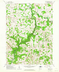
1961 Map of Portersville
USGS Topo · Published 1964About this map
Slippery Rock Creek carves a deep, forested gorge through this Western Pennsylvania landscape, anchored by the newly established McConnells Mill State Park. The 1961 field survey captures a transition in land use, where rugged natural areas and conservation efforts coexist with active extraction. Dozens of strip mines are etched into the surrounding plateaus near Portersville and Rose Point, highlighting the region's mid-century industrial footprint.
Find a feature on this map
55 named features on this map. Tap any name to fly to it.
Don’t see what you’re looking for? This feature index may not catch every label — zoom into the map to look around manually.
Map Details
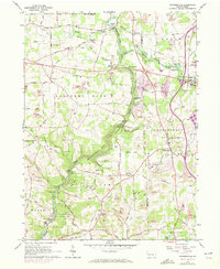
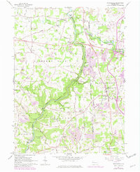
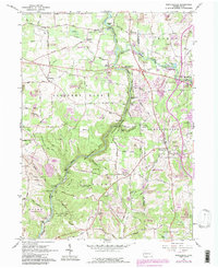
Editions of this 1961 Portersville Map
4 editions found
Other maps of this area

1902 · New Castle
USGS Topo · 1:62,500

1904 · Newcastle
USGS Topo · 1:62,500

1905 · Neshannock
USGS Topo · 1:62,500

1907 · Neshannock
USGS Topo · 1:62,500

1908 · Zelienople
USGS Topo · 1:62,500

1910 · Zelienople
USGS Topo · 1:62,500

1913 · Mercer
USGS Topo · 1:62,500

1939 · Mercer
USGS Topo · 1:62,500

1943 · Mercer
USGS Topo · 1:62,500

1950 · Cleveland
USGS Topo · 1:250,000