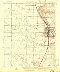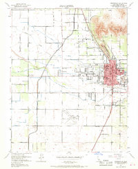
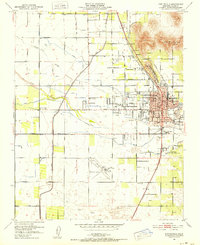
1951 Map of Porterville
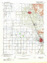
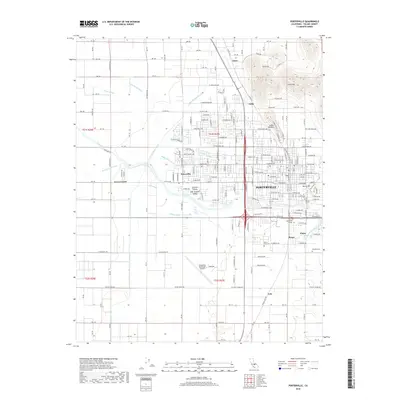
USGS Topo · Published 1968About this map
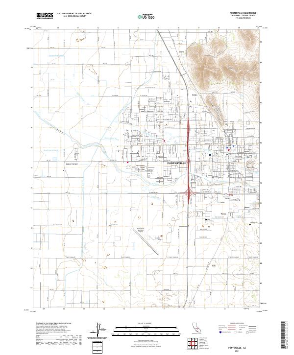
The Porterville city center serves as the hub of this Central Valley landscape, where the Tule River and Porter Slough weave through a dense network of citrus groves and agricultural fields. This mid-century survey documents the critical irrigation infrastructure of the era, including the prominent Friant Kern Canal and the Kern Friant Canal cutting north to south. Regional transportation is defined by the dual tracks of the Southern Pacific and the Atchison Topeka and Santa Fe railroads, which facilitated the movement of goods from local sidings like Lois and Zante. Beyond the urban core, the map detail captures a high concentration of neighborhood institutions, including the Westfield School, Vandalia School, and St Anns Cem. To the east, the terrain rises sharply toward Lewis Hill and Scenic Heights, providing a stark contrast to the flat, canal-fed plains to the west.
Find a feature on this map
56 named features on this map. Tap any name to fly to it.
Don’t see what you’re looking for? This feature index may not catch every label — zoom into the map to look around manually.
Map Details
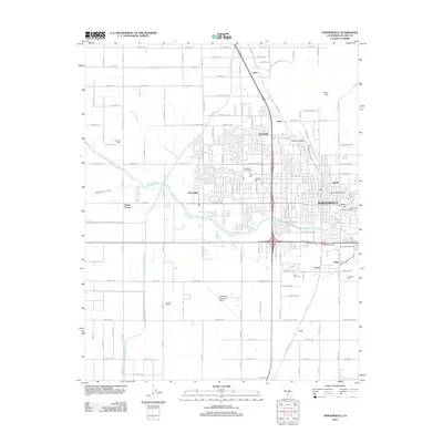
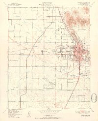
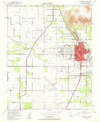
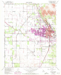
Editions of this 1951 Porterville Map
6 editions found
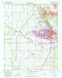
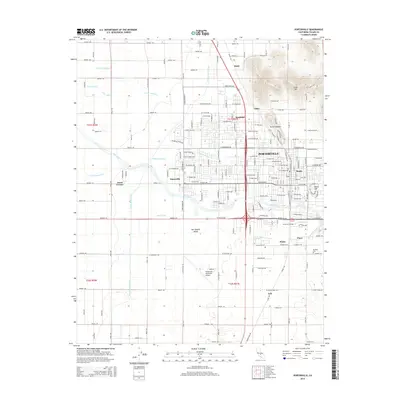
Historical Maps of Porterville Through Time
7 maps found