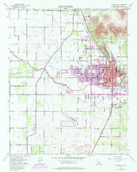
1951 Map of Porterville
USGS Topo · Published 1983About this map
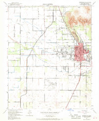
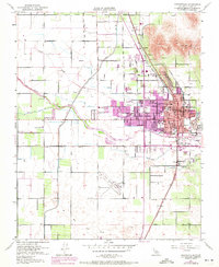
Porterville and its surrounding agricultural landscape are defined by an intricate network of water management and dual rail lines during this mid-century period. The Friant Kern Canal cuts through the territory, feeding various ditches like the Hubbs Miner Ditch to support the local orchards and fields. To the east, the foothills of Lewis Hill and Murray Hill provide a natural boundary to the urban expansion. The 1969 photorevisions highlight the growth of residential areas and the development of educational institutions, including Monache High Sch and Porterville College. This map captures a transition as the community moved toward modern infrastructure, featuring the Porterville Airport and its Airway Beacon, alongside the established industrial presence of the Southern Pacific and Atchison Topeka and Santa Fe railroads.
Find a feature on this map
63 named features on this map. Tap any name to fly to it.
Don’t see what you’re looking for? This feature index may not catch every label — zoom into the map to look around manually.
Map Details
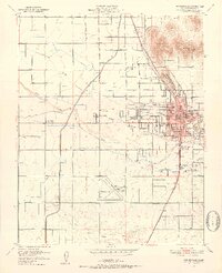
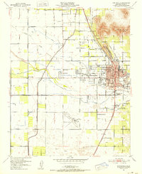
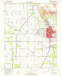
Editions of this 1951 Porterville Map
6 editions found
Other maps of this area

1904 · Kaweah
USGS Topo · 1:125,000

1909 · Kaweah
USGS Topo · 1:125,000

1927 · Cairns Corner
USGS Topo · 1:31,680

1928 · Woodville
USGS Topo · 1:31,680

1928 · Lindsay
USGS Topo · 1:31,680

1929 · Sausalito School
USGS Topo · 1:31,680

1929 · Porterville
USGS Topo · 1:31,680

1929 · Ducor
USGS Topo · 1:31,680

1936 · White River
USGS Topo · 1:62,500

1936 · Tobias Peak
USGS Topo · 1:125,000