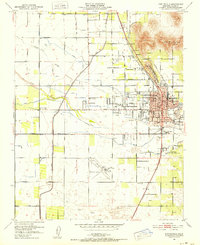
1951 Map of Porterville
USGS Topo · Published 1952About this map
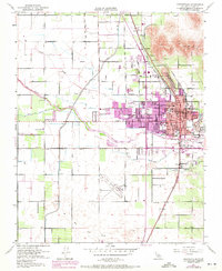
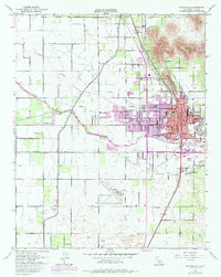
Porterville serves as the focal point of this Central Valley survey, situated at the base of Scenic Heights and Lewis Hill. The landscape is defined by an intricate network of irrigation and water control, including the Kern Friant Canal, Porter Slough, and the Tule River. The town's grid expands around the intersection of the Southern Pacific and Atchison Topeka and Santa Fe railroads, which facilitated the region's agricultural economy.
Find a feature on this map
50 named features on this map. Tap any name to fly to it.
Don’t see what you’re looking for? This feature index may not catch every label — zoom into the map to look around manually.
Map Details
Editions of this 1951 Porterville Map
6 editions found
Other maps of this area

1904 · Kaweah
USGS Topo · 1:125,000

1909 · Kaweah
USGS Topo · 1:125,000

1927 · Cairns Corner
USGS Topo · 1:31,680

1928 · Woodville
USGS Topo · 1:31,680

1928 · Lindsay
USGS Topo · 1:31,680

1929 · Sausalito School
USGS Topo · 1:31,680

1929 · Porterville
USGS Topo · 1:31,680

1929 · Ducor
USGS Topo · 1:31,680

1936 · White River
USGS Topo · 1:62,500

1936 · Tobias Peak
USGS Topo · 1:125,000