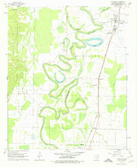
1960 Map of Portland
USGS Topo · Published 1979About this map
Bayou Bartholomew snakes through the heart of this landscape, its tight meanders and oxbow brakes defining the geography of eastern Ashley County. The Missouri Pacific railroad runs a straight line through the alluvial plains, anchoring settlements like Portland and Sunshine to the regional transport network. This 1960s survey captures a rural environment organized around water and rail, where the bayou provided the drainage and the tracks provided the commerce.
Find a feature on this map
29 named features on this map. Tap any name to fly to it.
Don’t see what you’re looking for? This feature index may not catch every label — zoom into the map to look around manually.
Map Details
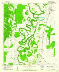
Editions of this 1960 Portland Map
2 editions found
Other maps of this area

1935 · Mist
USGS Topo · 1:62,500

1935 · Wilmot
USGS Topo · 1:62,500

1936 · Eudora
USGS Topo · 1:62,500

1936 · Lake Village
USGS Topo · 1:62,500

1953 · Greenwood
USGS Topo · 1:250,000

1955 · Lake Village
USGS Topo · 1:62,500

1956 · Greenwood
USGS Topo · 1:250,000

1957 · Eudora
USGS Topo · 1:62,500

1960 · Snyder
USGS Topo · 1:24,000

1960 · Mist
USGS Topo · 1:62,500