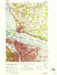
1940 Map of Portland
USGS Topo · Published 1958About this map
The Columbia River and Willamette River anchor this 1940 layout of the burgeoning Pacific Northwest. The city centers of Portland and Vancouver are depicted as dense urban grids, connected by the Interstate Bridge and surrounded by a landscape in transition. Aviation history is particularly prominent, with multiple sites including Pearson Field, Vancouver Airport, and the Portland Columbia Airport along the river banks. To the north, the terrain transitions into the Fourth Plains and rural Clark County, dotted with community landmarks like St John church and the Salmon School. The riverfront industry and transportation network are detailed, showing the Port of Portland Airport on Swan Island and the strategic location of the Federal Radio Commission Station near Russellville. Smaller outlying settlements like Knapp, Barberton, and Orchards illustrate the pre-suburban footprint of the region.
Find a feature on this map
53 named features on this map. Tap any name to fly to it.
Don’t see what you’re looking for? This feature index may not catch every label — zoom into the map to look around manually.
Map Details
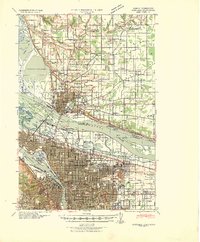
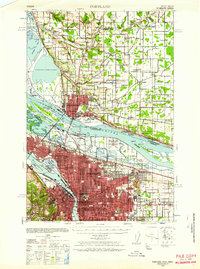
Editions of this 1940 Portland Map
4 editions found

Other maps of this area

1897 · Portland
USGS Topo · 1:62,500

1905 · Portland
USGS Topo · 1:62,500

1911 · Boring
USGS Topo · 1:48,000

1914 · Boring
USGS Topo · 1:62,500

1914 · Oregon City
USGS Topo · 1:62,500

1915 · Hillsboro
USGS Topo · 1:62,500

1916 · Tualatin
USGS Topo · 1:62,500

1916 · Estacada
USGS Topo · 1:125,000

1918 · Hillsboro
USGS Topo · 1:62,500

1918 · Troutdale
USGS Topo · 1:62,500