
1940 Map of Portland
USGS Topo · Published 1940About this map
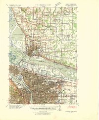
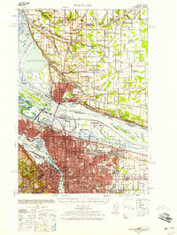
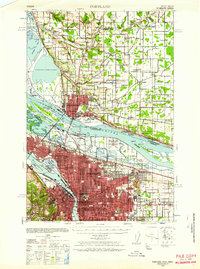
The Columbia River and Willamette River serve as the central arteries for this 1940 tactical map, detailing the urban and industrial development of Portland and Vancouver just before the major industrial mobilization of the early 1940s. The landscape is dotted with early aviation history, including the Swan Island Airport of Portland and the Pearson Field at the historic Vancouver Barracks. North of the rivers, the rural character of Clark County remains visible through the numerous local schoolhouses such as Pleasant Valley School and Walnut School, alongside the sprawling Fourth Plains.
Find a feature on this map
67 named features on this map. Tap any name to fly to it.
Don’t see what you’re looking for? This feature index may not catch every label — zoom into the map to look around manually.
Map Details
Editions of this 1940 Portland Map
4 editions found
Other maps of this area

1897 · Portland
USGS Topo · 1:62,500

1905 · Portland
USGS Topo · 1:62,500

1911 · Boring
USGS Topo · 1:48,000

1914 · Boring
USGS Topo · 1:62,500

1914 · Oregon City
USGS Topo · 1:62,500

1915 · Hillsboro
USGS Topo · 1:62,500

1916 · Tualatin
USGS Topo · 1:62,500

1916 · Estacada
USGS Topo · 1:125,000

1918 · Hillsboro
USGS Topo · 1:62,500

1918 · Troutdale
USGS Topo · 1:62,500