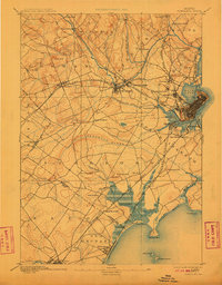
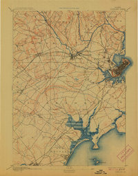
1893 Map of Portland
USGS Topo · Published 1910About this map
Portland serves as the focal point of this late 19th-century coastal survey, anchored by its dense street grid and protected Back Cove harbor. The surrounding Cumberland County landscape reveals an industrial and transit-heavy corridor, where the Presumpscot River powers significant sites like Presumpscot Falls and Cumberland Mills. This era was defined by a complex rail network, with the Maine Central Railroad and Portland and Rochester Railroad converging on the city, linking inland timber and manufacturing centers like Saccarappa and Gorham to the Atlantic docks.
Find a feature on this map
71 named features on this map. Tap any name to fly to it.
Don’t see what you’re looking for? This feature index may not catch every label — zoom into the map to look around manually.
Map Details
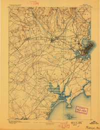
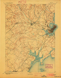
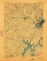
Editions of this 1893 Portland Map
6 editions found
Other maps of this area

1891 · Portland
USGS Topo · 1:62,500

1891 · Biddeford
USGS Topo · 1:62,500

1891 · Kennebunk
USGS Topo · 1:62,500

1891 · Buxton
USGS Topo · 1:62,500

1892 · Freeport
USGS Topo · 1:62,500

1892 · Buxton
USGS Topo · 1:62,500

1893 · Kennebunk
USGS Topo · 1:62,500

1893 · Biddeford
USGS Topo · 1:62,500

1893 · Portland
USGS Topo · 1:62,500

1893 · Casco Bay
USGS Topo · 1:62,500