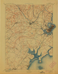
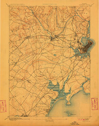
1893 Map of Portland
USGS Topo · Published 1913About this map
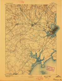
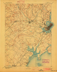
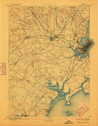
Portland serves as the central hub of a complex coastal network in the late nineteenth century, where maritime trade meets a dense web of industrial rail lines. The landscape is defined by the Presumpscot River and its numerous falls, such as Gambo Falls and Presumpscot Falls, which powered early manufacturing centers like Saccarappa and Cumberland Mills. To the south, the coastline transitions from the urban density of Back Cove and the Fore River toward the summer resorts and seasonal communities of Old Orchard and Ocean Park.
Find a feature on this map
67 named features on this map. Tap any name to fly to it.
Don’t see what you’re looking for? This feature index may not catch every label — zoom into the map to look around manually.
Map Details
Editions of this 1893 Portland Map
6 editions found
Other maps of this area

1891 · Portland
USGS Topo · 1:62,500

1891 · Biddeford
USGS Topo · 1:62,500

1891 · Kennebunk
USGS Topo · 1:62,500

1891 · Buxton
USGS Topo · 1:62,500

1892 · Freeport
USGS Topo · 1:62,500

1892 · Buxton
USGS Topo · 1:62,500

1893 · Kennebunk
USGS Topo · 1:62,500

1893 · Biddeford
USGS Topo · 1:62,500

1893 · Portland
USGS Topo · 1:62,500

1893 · Casco Bay
USGS Topo · 1:62,500