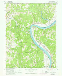
1960 Map of Portland
USGS Topo · Published 1973About this map
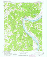
Buffington Island State Memorial stands as a focal point along this stretch of the Ohio River, where the borders of Ohio and West Virginia meet. The landscape is defined by the sharp transition between the riverside plains of Long Bottom and the deeply dissected ridges of the Shade River State Forest. The rural character of Lebanon and Grant townships is evident in the numerous family-named landmarks and cemeteries, such as the Middleswart Cem and Wheaton Cem, which provide essential clues for genealogists researching the early families of Meigs County.
Find a feature on this map
101 named features on this map. Tap any name to fly to it.
Don’t see what you’re looking for? This feature index may not catch every label — zoom into the map to look around manually.
Map Details
Editions of this 1960 Portland Map
5 editions found
Other maps of this area

1906 · Belleville
USGS Topo · 1:62,500

1907 · Keno
USGS Topo · 1:62,500

1907 · Ripley
USGS Topo · 1:62,500

1908 · Ravenswood
USGS Topo · 1:62,500

1924 · Belleville
USGS Topo · 1:62,500

1926 · Ravenswood
USGS Topo · 1:62,500

1926 · Belleville
USGS Topo · 1:62,500

1926 · Ripley
USGS Topo · 1:62,500

1928 · Ravenswood
USGS Topo · 1:62,500

1928 · Ripley
USGS Topo · 1:62,500