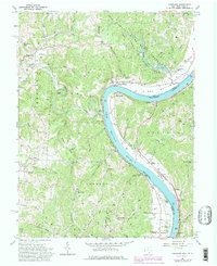
1960 Map of Portland
USGS Topo · Published 1978About this map
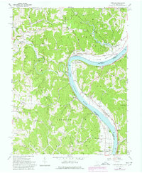
Long Bottom and Portland anchor this stretch of the Ohio River, where the river's sharp horseshoe bend carves through the borderlands of Meigs County and West Virginia. The landscape is defined by the steep ridges and narrow hollows of the Shade River State Forest and various family-named hills like Bigley Ridge and Milhoan Ridge. Along the riverbanks, the Baltimore and Ohio railroad tracks follow the water's edge, connecting small landing points and settlements such as Murraysville and Muses Bottom. Inland, the map reveals a high density of rural community markers, including the Our Lady of Loretto Ch and several one-room school sites like Red Brush Sch. The southern edge is marked by the Buffington Island State Memorial, commemorating the civil war battle site in the river's channel.
Find a feature on this map
88 named features on this map. Tap any name to fly to it.
Don’t see what you’re looking for? This feature index may not catch every label — zoom into the map to look around manually.
Map Details
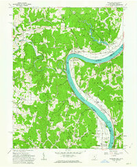
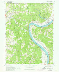
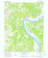
Editions of this 1960 Portland Map
5 editions found
Other maps of this area

1906 · Belleville
USGS Topo · 1:62,500

1907 · Keno
USGS Topo · 1:62,500

1907 · Ripley
USGS Topo · 1:62,500

1908 · Ravenswood
USGS Topo · 1:62,500

1924 · Belleville
USGS Topo · 1:62,500

1926 · Ravenswood
USGS Topo · 1:62,500

1926 · Belleville
USGS Topo · 1:62,500

1926 · Ripley
USGS Topo · 1:62,500

1928 · Ravenswood
USGS Topo · 1:62,500

1928 · Ripley
USGS Topo · 1:62,500