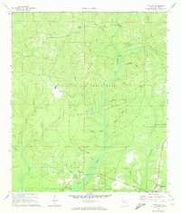
1970 Map of Portland
USGS Topo · Published 1972About this map
Alaqua Creek and its many tributaries, including McQuage Creek and Little Alaqua Creek, dominate this Walton County landscape during the early 1970s. Much of the central terrain is occupied by Eglin Air Force Base, which contains distinctive landmarks like a Heliport and several named crossings such as Hobbs Bridge and Pine Allen Bridge. The map records a transition from established settlements to military use, with the Base Line bisecting the quadrangle south of Steep Head.
Find a feature on this map
40 named features on this map. Tap any name to fly to it.
Don’t see what you’re looking for? This feature index may not catch every label — zoom into the map to look around manually.
Map Details
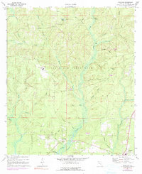
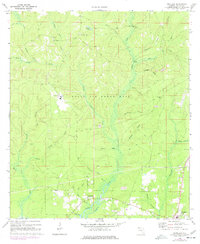
Editions of this 1970 Portland Map
3 editions found
Other maps of this area

1934 · Niceville
USGS Topo · 1:48,000

1935 · Villa Tasso
USGS Topo · 1:48,000

1935 · De Funiak Springs
USGS Topo · 1:48,000

1936 · Niceville
USGS Topo · 1:62,500

1936 · Point Washington
USGS Topo · 1:48,000

1938 · Villa Tasso
USGS Topo · 1:62,500

1938 · De Funiak Springs
USGS Topo · 1:62,500

1939 · Point Washington
USGS Topo · 1:62,500

1956 · Niceville
USGS Topo · 1:62,500

1956 · Villa Tasso
USGS Topo · 1:62,500