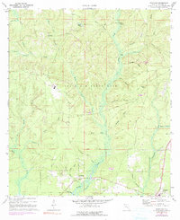
1970 Map of Portland
USGS Topo · Published 1990About this map
Eglin Air Force Base dominates the central landscape of this Walton County survey, illustrating the significant military footprint in the Florida Panhandle during the late 20th century. The settlement of Portland sits at the junction of several drainage systems, including Alaqua Creek and Mill Creek, where the local terrain transitions toward West Bayou. To the north, the small community of New Home is marked by its namesake New Home Cem, while the southern edge of the map shows the outskirts of Freeport.
Find a feature on this map
38 named features on this map. Tap any name to fly to it.
Don’t see what you’re looking for? This feature index may not catch every label — zoom into the map to look around manually.
Map Details
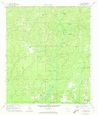
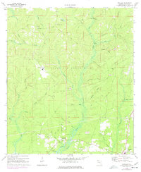
Editions of this 1970 Portland Map
3 editions found
Other maps of this area

1934 · Niceville
USGS Topo · 1:48,000

1935 · Villa Tasso
USGS Topo · 1:48,000

1935 · De Funiak Springs
USGS Topo · 1:48,000

1936 · Niceville
USGS Topo · 1:62,500

1936 · Point Washington
USGS Topo · 1:48,000

1938 · Villa Tasso
USGS Topo · 1:62,500

1938 · De Funiak Springs
USGS Topo · 1:62,500

1939 · Point Washington
USGS Topo · 1:62,500

1956 · Niceville
USGS Topo · 1:62,500

1956 · Villa Tasso
USGS Topo · 1:62,500