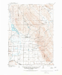
1917 Map of Portneuf
USGS Topo · Published 1948About this map
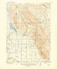
The Portneuf Valley at the time of this 1914 survey is defined by a transitional landscape between the Fort Hall Indian Reservation to the west and the high country of Tenmile Pass to the southeast. At the heart of the region sits Chesterfield, a settlement established during the expansion of agricultural irrigation in the high desert of Idaho. The importance of water management is evident in the extensive Portneuf-Marsh Valley Irrigation Co Feeder Canal and Ditch, which draws from the Portneuf Reservoir to support local ranching and homesteads. Rural education is exceptionally well-documented here, with several family-named or local district schoolhouses scattered across the valley, including Gooch School, Rigby School, Kelly School, and North Canyon School. The Oregon Short Line runs along the southern edge near Kinport, providing the vital rail link that connected these remote settlements to wider markets while skirting the Cache National Forest.
Find a feature on this map
36 named features on this map. Tap any name to fly to it.
Don’t see what you’re looking for? This feature index may not catch every label — zoom into the map to look around manually.
Map Details
Editions of this 1917 Portneuf Map
3 editions found
Other maps of this area

1914 · Henry
USGS Topo · 1:48,000

1916 · Henry
USGS Topo · 1:62,500

1917 · Portneuf
USGS Topo · 1:62,500

1917 · Cranes Flat
USGS Topo · 1:62,500

1918 · Paradise Valley
USGS Topo · 1:62,500

1948 · Bancroft
USGS Topo · 1:62,500

1948 · Soda Springs
USGS Topo · 1:62,500

1949 · Bancroft
USGS Topo · 1:62,500

1949 · Soda Springs
USGS Topo · 1:62,500

1954 · Pocatello
USGS Topo · 1:250,000