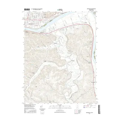
2016 Map of Portsmouth
USGS Topo · Published 2016About this map
The Ohio River and Scioto River converge at Portsmouth, Ohio, shaping a complex landscape of riverfront industrial centers and high ridges. Across the water in Kentucky, small settlements like South Portsmouth, Fullerton, and South Shore sit opposite the main city, while the Csx Transportation line tracks the river's path. The terrain rises sharply away from the water into a series of deeply carved hollows and prominent ridges, including the notable Civil War Ridge and Rattlesnake Hollow.
Find a feature on this map
151 named features on this map. Tap any name to fly to it.
Don’t see what you’re looking for? This feature index may not catch every label — zoom into the map to look around manually.
Map Details
Editions of this 2016 Portsmouth Map
This is the sole edition of this map. No revisions or reprints were ever made.
Other maps of this area

1911 · Sciotoville
USGS Topo · 1:62,500

1913 · Sciotoville
USGS Topo · 1:62,500

1915 · Garrison
USGS Topo · 1:62,500

1915 · Otway
USGS Topo · 1:62,500

1917 · Otway
USGS Topo · 1:62,500

1918 · Garrison
USGS Topo · 1:62,500

1926 · Greenup
USGS Topo · 1:48,000

1930 · Greenup
USGS Topo · 1:62,500

1949 · Friendship
USGS Topo · 1:24,000

1949 · Brushart
USGS Topo · 1:24,000