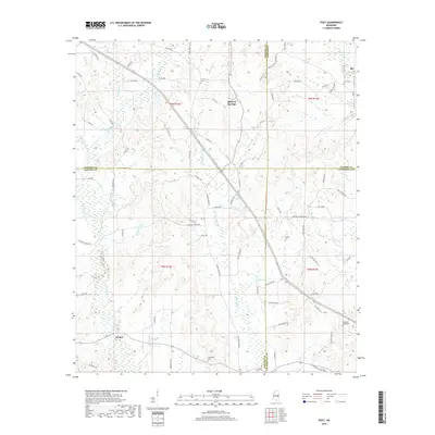
2018 Map of Post
USGS Topo · Published 2018About this map
The borders of Neshoba, Newton, Kemper, and Lauderdale counties meet in this rural landscape, centered on the community of Post. The terrain is defined by the winding paths of Tallahatta Cr and Mayatte Cr, which feed into numerous wetlands and brakes like the Double Reed Brake Br. Small settlements such as Rio, Herbert Springs, and Perdue are connected by a network of county roads, indicating a pattern of dispersed agricultural and timber-related land use.
Find a feature on this map
81 named features on this map. Tap any name to fly to it.
Don’t see what you’re looking for? This feature index may not catch every label — zoom into the map to look around manually.
Map Details
Editions of this 2018 Post Map
This is the sole edition of this map. No revisions or reprints were ever made.
Other maps of this area

1953 · Meridian
USGS Topo · 1:250,000

1957 · Meridian
USGS Topo · 1:250,000

1957 · Chunky
USGS Topo · 1:62,500

1962 · House
USGS Topo · 1:24,000

1962 · Center Hill
USGS Topo · 1:24,000

1962 · Post
USGS Topo · 1:24,000

1962 · Moscow
USGS Topo · 1:24,000

1965 · Meridian
USGS Topo · 1:250,000

1966 · Decatur
USGS Topo · 1:24,000

1972 · Deemer
USGS Topo · 1:24,000