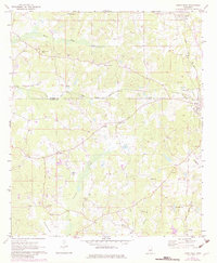
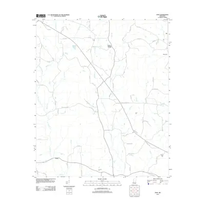
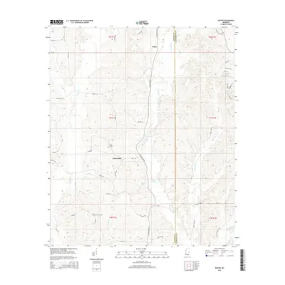
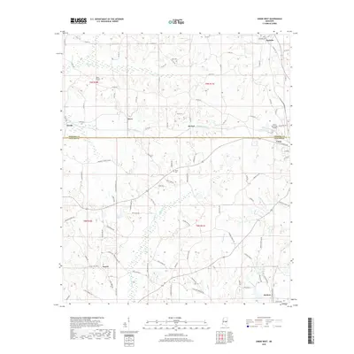
1962 Map of Post
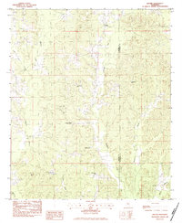
USGS Topo · Published 1985About this map
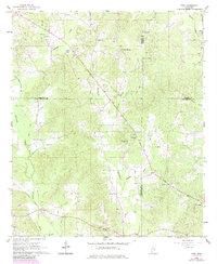
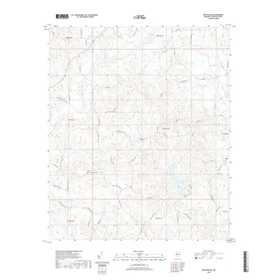
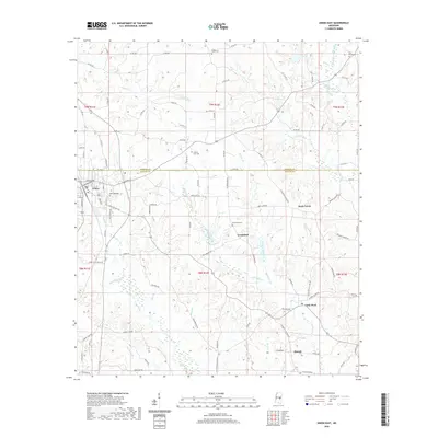
Tallahatta Creek and Tallashua Creek carve through this rural landscape at the crossroads of Neshoba, Newton, Kemper, and Lauderdale counties. The 1962 survey reveals a deeply religious and communal settlement pattern, anchored by numerous country churches such as Bethel Ch, Antioch Ch, and Alawine Springs Ch. The small settlement of Post serves as a central hub, while other named locales like Perdue and Herbert Springs reflect the importance of local water sources and family tracts in the mid-century South. Land use is evidenced by features like the Sandpit near Murphy Branch and the King Canal in the northeast, suggesting a landscape shaped by both natural drainage and human intervention. For genealogists, the map is a primary source for locating vanished landmarks and family burial sites like Trussel Cem.
Find a feature on this map
39 named features on this map. Tap any name to fly to it.
Don’t see what you’re looking for? This feature index may not catch every label — zoom into the map to look around manually.
Map Details
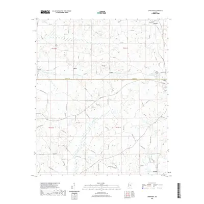
Editions of this 1962 Post Map
2 editions found
Historical Maps of Perdue Through Time
30 maps found
1962 Post
Newton County, MS
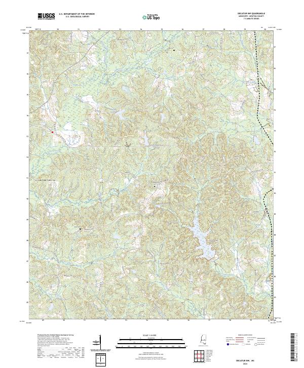
1966 Decatur NW
Newton County, MS
1972 Union East
Newton County, MS
1972 Union West
Newton County, MS
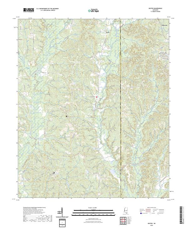
1982 Duffee
Newton County, MS
2012 Decatur NW
Newton County, MS
2012 Duffee
Newton County, MS
2012 Post
Newton County, MS
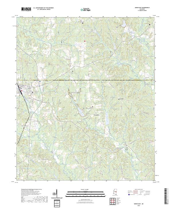
2012 Union East
Newton County, MS
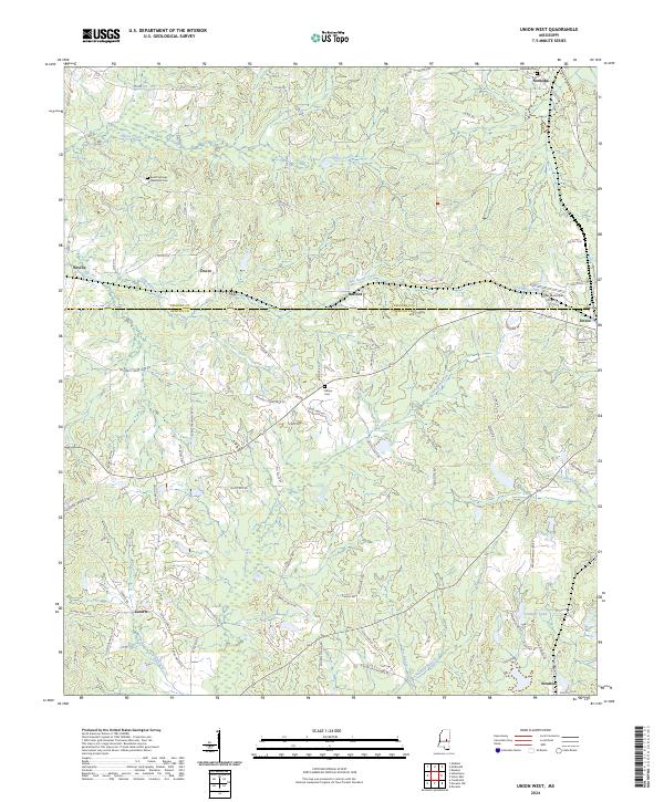
2012 Union West
Newton County, MS
2015 Decatur NW
Newton County, MS
2015 Duffee
Newton County, MS
2015 Post
Newton County, MS
2015 Union East
Newton County, MS
2015 Union West
Newton County, MS
2018 Decatur NW
Newton County, MS
2018 Duffee
Newton County, MS
2018 Post
Newton County, MS
2018 Union East
Newton County, MS
2018 Union West
Newton County, MS
2020 Decatur NW
Newton County, MS
2020 Duffee
Newton County, MS
2020 Post
Newton County, MS
2020 Union East
Newton County, MS
2020 Union West
Newton County, MS
2024 Decatur NW
Newton County, MS
2024 Duffee
Newton County, MS
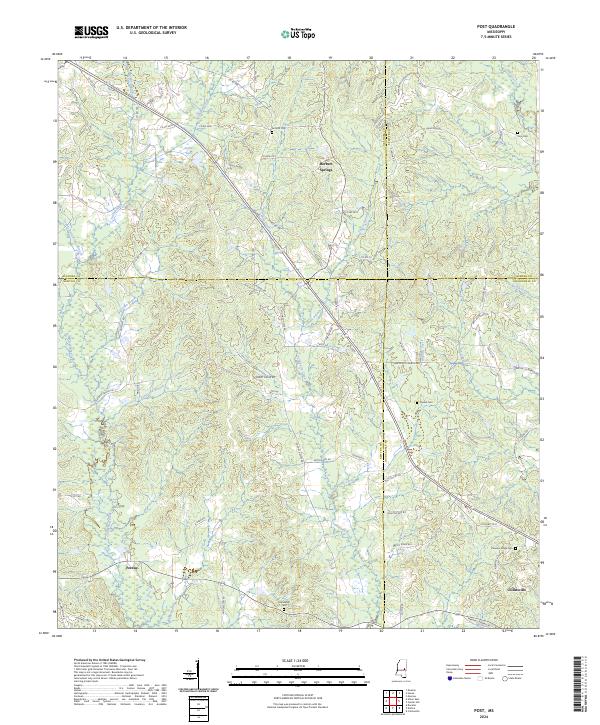
2024 Post
Newton County, MS
2024 Union East
Newton County, MS
2024 Union West
Newton County, MS