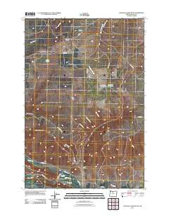
2011 Map of Postage Stamp Butte
USGS Topo · Published 2011About this map
Kingsley sits at the heart of this high-plateau landscape in Wasco County, surrounded by a network of ranching roads like Friend Rd and Kingsley Rd. The area's history is anchored by several burial grounds, including the Catholic Cemetery, Kingsley Cemetery, and Tygh Valley Cemetery to the south. The terrain is defined by dramatic elevation changes, from the heights of Tygh Ridge Summit and the landmark Postage Stamp Butte down into deeply cut drainages such as Gurley Canyon and Butler Canyon. Water management is central to this environment, evidenced by Hendricks Reservoirs, Smith Ponds, and the Highline Ditch. In the southern portion of the quadrangle, the land opens toward the Tygh Valley Fairgrounds near the confluence of Tygh Creek and Badger Creek, where the local road system transitions into Fairgrounds Rd and Oak Grove Ave.
Find a feature on this map
32 named features on this map. Tap any name to fly to it.
Don’t see what you’re looking for? This feature index may not catch every label — zoom into the map to look around manually.
Map Details
Editions of this 2011 Postage Stamp Butte Map
This is the sole edition of this map. No revisions or reprints were ever made.
Other maps of this area

1930 · Dufur
USGS Topo · 1:125,000

1934 · Dufur
USGS Topo · 1:125,000

1953 · The Dalles
USGS Topo · 1:250,000

1956 · The Dalles
USGS Topo · 1:250,000

1957 · The Dalles
USGS Topo · 1:250,000

1962 · Sherars Bridge
USGS Topo · 1:24,000

1962 · Wolf Run
USGS Topo · 1:24,000

1962 · Postage Stamp Butte
USGS Topo · 1:24,000

1962 · Wamic
USGS Topo · 1:24,000

1962 · Dufur East
USGS Topo · 1:24,000