
1962 Map of Wamic
USGS Topo · Published 1964About this map
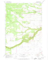
Wamic sits at the edge of the high plateau, serving as a gateway to the wooded slopes of the Mt Hood National Forest during the early 1960s. The landscape is defined by deep river cuts and broad upland benches like Smock Prairie and Juniper flat. To the south, the White River carves a dramatic canyon, while Threemile Creek and Rock Creek flow through the northern reaches. Evidence of early settlement and rural education is found at Smock Sch and Batty Sch, which once served the isolated agricultural families of the region.
Find a feature on this map
25 named features on this map. Tap any name to fly to it.
Don’t see what you’re looking for? This feature index may not catch every label — zoom into the map to look around manually.
Map Details
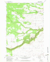
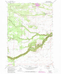
Editions of this 1962 Wamic Map
4 editions found
Other maps of this area

1930 · Dufur
USGS Topo · 1:125,000

1934 · Dufur
USGS Topo · 1:125,000

1953 · The Dalles
USGS Topo · 1:250,000

1956 · The Dalles
USGS Topo · 1:250,000

1957 · The Dalles
USGS Topo · 1:250,000

1962 · Rock Creek Reservoir
USGS Topo · 1:24,000

1962 · Postage Stamp Butte
USGS Topo · 1:24,000
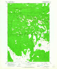
1962 · Foreman Point
USGS Topo · 1:24,000
1962 · Wapinitia
USGS Topo · 1:24,000
1962 · Tygh Valley
USGS Topo · 1:24,000