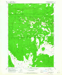
1962 Map of Foreman Point
USGS Topo · Published 1964About this map
The boundary between Mt Hood National Forest and the Warm Springs Indian Reservation defines this 1962 landscape in Wasco County. The terrain transitions from the timbered heights of the Laughlin Hills and Foreman Point—which features a fire lookout—down to the open expanse of Beaver Prairie. The industrial footprint of the early 1960s is evident at the Dahl Pine settlement and the Rainbow Quarry, while the area's hydrology is marked by numerous springs such as Kelly Spring and Daniel Spring.
Find a feature on this map
31 named features on this map. Tap any name to fly to it.
Don’t see what you’re looking for? This feature index may not catch every label — zoom into the map to look around manually.
Map Details
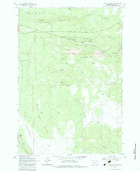
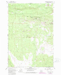
Editions of this 1962 Foreman Point Map
3 editions found
Other maps of this area

1924 · Mount Hood
USGS Topo · 1:125,000

1927 · Mount Hood
USGS Topo · 1:125,000

1927 · Mt. Jefferson
USGS Topo · 1:125,000

1928 · Madras
USGS Topo · 1:125,000

1930 · Mt. Jefferson
USGS Topo · 1:125,000

1930 · Dufur
USGS Topo · 1:125,000

1931 · Madras
USGS Topo · 1:125,000

1934 · Dufur
USGS Topo · 1:125,000

1953 · The Dalles
USGS Topo · 1:250,000

1955 · Bend
USGS Topo · 1:250,000