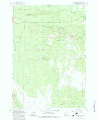
1962 Map of Foreman Point
USGS Topo · Published 1983About this map
Mt Hood National Forest dominates the northern reaches of this landscape, where the Laughlin Hills transition into the high-elevation terrain of Foreman Point. The 1962 field-checked data captures a critical boundary through the center of the sheet: the Old Indian Reservation Boundary (Handley Line - 1871), which separates the forest from the Indian Reservation Boundary lands to the south. This historical line provides a specific marker of late-19th-century land administration in Wasco County.
Find a feature on this map
36 named features on this map. Tap any name to fly to it.
Don’t see what you’re looking for? This feature index may not catch every label — zoom into the map to look around manually.
Map Details
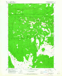
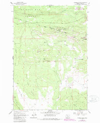
Editions of this 1962 Foreman Point Map
3 editions found
Other maps of this area

1924 · Mount Hood
USGS Topo · 1:125,000

1927 · Mount Hood
USGS Topo · 1:125,000

1927 · Mt. Jefferson
USGS Topo · 1:125,000

1928 · Madras
USGS Topo · 1:125,000

1930 · Mt. Jefferson
USGS Topo · 1:125,000

1930 · Dufur
USGS Topo · 1:125,000

1931 · Madras
USGS Topo · 1:125,000

1934 · Dufur
USGS Topo · 1:125,000

1953 · The Dalles
USGS Topo · 1:250,000

1955 · Bend
USGS Topo · 1:250,000