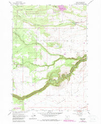
1962 Map of Wamic
USGS Topo · Published 1987About this map
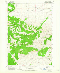
White River State Game Management Area dominates much of this Wasco County landscape, where the high country of the Mt Hood National Forest meets the open plateaus of central Oregon. The settlement of Wamic sits at the northern edge, supported by an intricate water network including the Threemile Ditch and the waters of Pine Hollow Lake. This area was a critical corridor for westward movement, as evidenced by the historic Barlow Road cutting through the western sections.
Find a feature on this map
22 named features on this map. Tap any name to fly to it.
Don’t see what you’re looking for? This feature index may not catch every label — zoom into the map to look around manually.
Map Details
Editions of this 1962 Wamic Map
4 editions found
Other maps of this area

1930 · Dufur
USGS Topo · 1:125,000

1934 · Dufur
USGS Topo · 1:125,000

1953 · The Dalles
USGS Topo · 1:250,000

1956 · The Dalles
USGS Topo · 1:250,000

1957 · The Dalles
USGS Topo · 1:250,000

1962 · Rock Creek Reservoir
USGS Topo · 1:24,000

1962 · Postage Stamp Butte
USGS Topo · 1:24,000
1962 · Foreman Point
USGS Topo · 1:24,000

1962 · Wamic
USGS Topo · 1:24,000
1962 · Wapinitia
USGS Topo · 1:24,000