
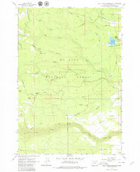
1962 Map of Rock Creek Reservoir
USGS Topo · Published 1964About this map
The eastern slopes of Mt Hood National Forest define this landscape, where early pioneer routes and water management infrastructure intersect in Wasco County. The historic Barlow Road winds through the southern terrain near Immigrant Spring, marking the path of the final overland leg of the Oregon Trail. This 1962 field-checked survey highlights the significance of water to the region, featuring the Rock Creek Reservoir and an intricate network of irrigation channels like Threemile Ditch and the Lost Boulder Ditch.
Find a feature on this map
32 named features on this map. Tap any name to fly to it.
Don’t see what you’re looking for? This feature index may not catch every label — zoom into the map to look around manually.
Map Details
Editions of this 1962 Rock Creek Reservoir Map
2 editions found
Other maps of this area

1924 · Mount Hood
USGS Topo · 1:125,000

1927 · Mount Hood
USGS Topo · 1:125,000

1930 · Dufur
USGS Topo · 1:125,000

1934 · Dufur
USGS Topo · 1:125,000

1953 · The Dalles
USGS Topo · 1:250,000

1956 · The Dalles
USGS Topo · 1:250,000

1956 · Mt. Wilson
USGS Topo · 1:62,500

1957 · The Dalles
USGS Topo · 1:250,000
1962 · Foreman Point
USGS Topo · 1:24,000

1962 · Wamic
USGS Topo · 1:24,000