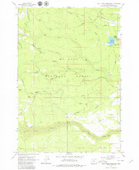
1962 Map of Rock Creek Reservoir
USGS Topo · Published 1979About this map
Mt Hood National Forest defines this high-elevation landscape in the early 1960s, showing a transition from the dense woods of the Cascade Range to the open terrain of Smock Prairie. The map documents critical water management infrastructure for the region, centered on the Rock Creek Reservoir and its associated Spillway. Historical travel routes are prominent, most notably the path of the Barlow Road, a significant branch of the Oregon Trail that winds through the southern half of the quadrangle. Early recreation and administrative sites appear at Codys Camp and a nearby Guard Station. Along the White River, detailed markers like Mile 28 and Mile 22 track the river's course through the steep drainages of Hazel Hollow, while landmarks like Immigrant Spring and Bus Point provide specific geographic points of interest for local history and genealogy research.
Find a feature on this map
33 named features on this map. Tap any name to fly to it.
Don’t see what you’re looking for? This feature index may not catch every label — zoom into the map to look around manually.
Map Details
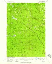
Editions of this 1962 Rock Creek Reservoir Map
2 editions found
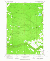
Other maps of this area

1924 · Mount Hood
USGS Topo · 1:125,000

1927 · Mount Hood
USGS Topo · 1:125,000

1930 · Dufur
USGS Topo · 1:125,000

1934 · Dufur
USGS Topo · 1:125,000

1953 · The Dalles
USGS Topo · 1:250,000

1956 · The Dalles
USGS Topo · 1:250,000
1956 · Mt. Wilson
USGS Topo · 1:62,500

1957 · The Dalles
USGS Topo · 1:250,000
1962 · Rock Creek Reservoir
USGS Topo · 1:24,000
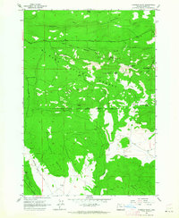
1962 · Foreman Point
USGS Topo · 1:24,000