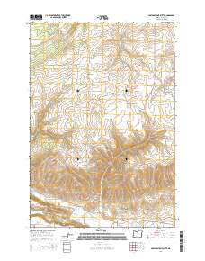
2014 Map of Postage Stamp Butte
USGS Topo · Published 2014About this map
Tygh Valley and the small settlement of Kingsley anchor this high-desert landscape in Wasco County, where agricultural life is shaped by the complex drainage of the eastern Cascades. The terrain is defined by the massive rise of Tygh Ridge and Tygh Ridge Summit, which separates northern watersheds from the southern valley floor. Water management is a primary feature of the area, evidenced by the presence of the Highline Ditch, Hendricks Reservoirs, and Smith Ponds. For local historians, the placement of the Catholic Cem, Kingsley Cem, and Tygh Valley Cem provides essential genealogical markers for the families who settled this territory. Landmark elevations like Postage Stamp Butte and deep cuts such as Butler Canyon and Gurley Canyon create a sharp vertical relief between the cultivated fields and the volcanic ridges.
Find a feature on this map
37 named features on this map. Tap any name to fly to it.
Don’t see what you’re looking for? This feature index may not catch every label — zoom into the map to look around manually.
Map Details
Editions of this 2014 Postage Stamp Butte Map
This is the sole edition of this map. No revisions or reprints were ever made.
Other maps of this area

1930 · Dufur
USGS Topo · 1:125,000

1934 · Dufur
USGS Topo · 1:125,000

1953 · The Dalles
USGS Topo · 1:250,000

1956 · The Dalles
USGS Topo · 1:250,000

1957 · The Dalles
USGS Topo · 1:250,000

1962 · Sherars Bridge
USGS Topo · 1:24,000

1962 · Wolf Run
USGS Topo · 1:24,000

1962 · Postage Stamp Butte
USGS Topo · 1:24,000

1962 · Wamic
USGS Topo · 1:24,000

1962 · Dufur East
USGS Topo · 1:24,000