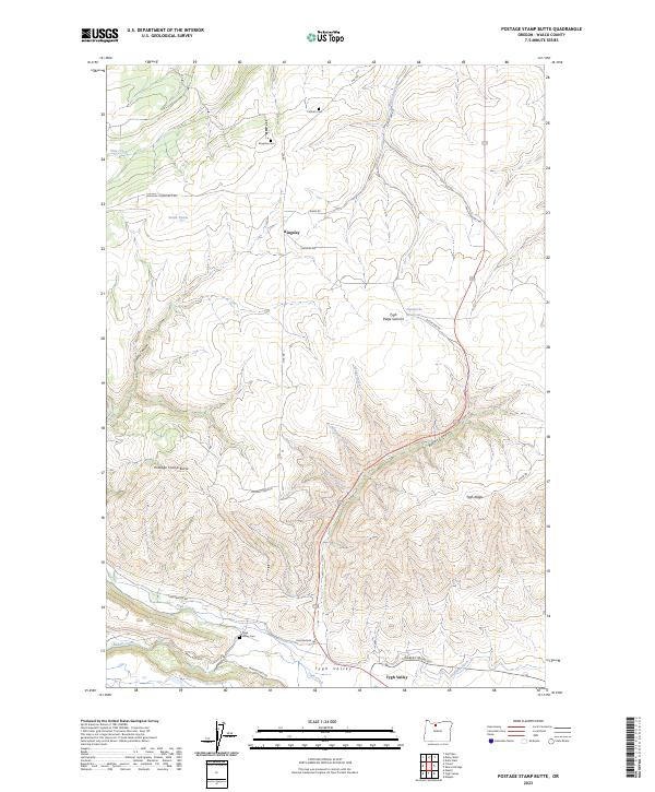
2023 Map of Postage Stamp Butte
USGS Topo · Published 2023About this map
Kingsley and the northern reaches of Tygh Valley define this portrait of the central Oregon plateau in the modern era. The landscape is a complex system of drainage and irrigation, evidenced by the Highline Ditch and Hendricks Reservoirs which support local agriculture. The terrain transitions from the high point of Postage Stamp Butte down into deep incisions like Butler Canyon and Gurley Canyon. Genealogical interest is anchored by three distinct burial sites: Catholic Cem, Kingsley Cem, and Tygh Valley Cem, reflecting the area's early settlement patterns. Transport across the ridges is maintained via routes like Kingsley-Friend Mkt Rd and Shearer's Bridge Rd, tracing the legacy of ranching and market access in Wasco County.
Find a feature on this map
39 named features on this map. Tap any name to fly to it.
Don’t see what you’re looking for? This feature index may not catch every label — zoom into the map to look around manually.
Map Details
Editions of this 2023 Postage Stamp Butte Map
This is the sole edition of this map. No revisions or reprints were ever made.
Other maps of this area

1930 · Dufur
USGS Topo · 1:125,000

1934 · Dufur
USGS Topo · 1:125,000

1953 · The Dalles
USGS Topo · 1:250,000

1956 · The Dalles
USGS Topo · 1:250,000

1957 · The Dalles
USGS Topo · 1:250,000

1962 · Sherars Bridge
USGS Topo · 1:24,000

1962 · Wolf Run
USGS Topo · 1:24,000

1962 · Postage Stamp Butte
USGS Topo · 1:24,000

1962 · Wamic
USGS Topo · 1:24,000

1962 · Dufur East
USGS Topo · 1:24,000