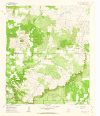
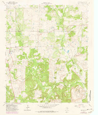
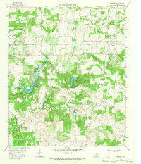
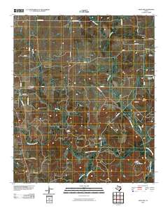
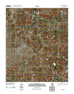
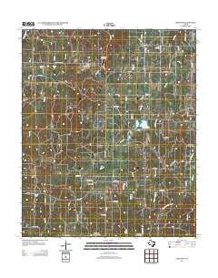
1964 Map of Postoak
USGS Topo · Published 1984About this map
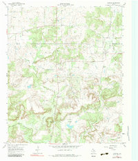
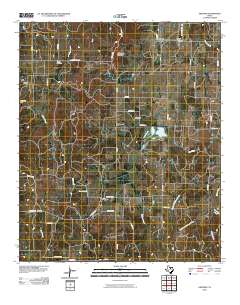
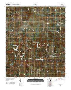
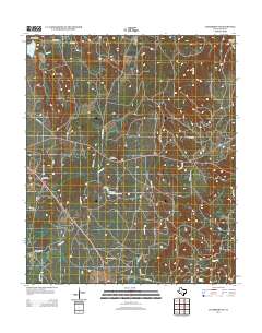
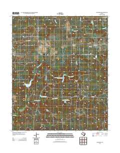
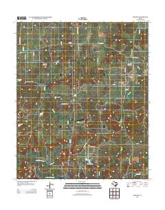
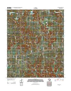
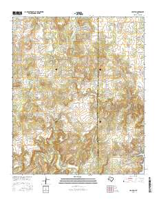
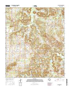
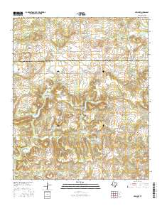
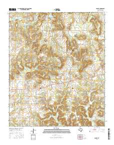
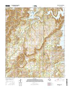
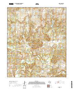
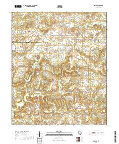
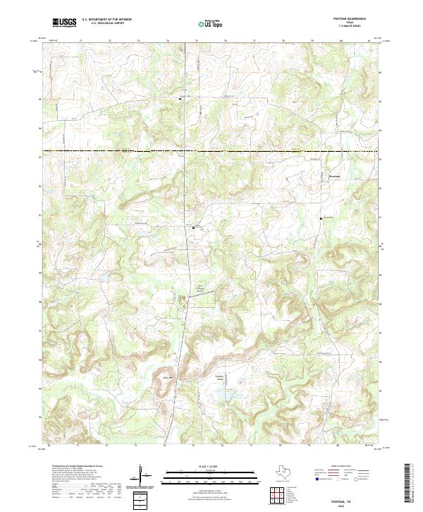
Postoak and Prospect anchor this northern Texas landscape, surveyed in the early 1960s along the border of Clay and Jack Counties. The terrain transitions from the elevations of Bear Mountain and Silver Hill down into the sheltered Pudding Valley. The hydrological network is defined by the West Fork Trinity River in the southwest and the drainage of Turkey Creek and Jones Creek. Family history and local heritage are preserved through three primary burial grounds: Prospect Cemetery, Postoak Cemetery, and Silver Hill Cemetery. Evidence of local industry is visible through scattered Oil Wells and Gravel Pits, while a cross-country Pipeline and a Flowing Well indicate the management of natural resources during this era.
Find a feature on this map
19 named features on this map. Tap any name to fly to it.
Don’t see what you’re looking for? This feature index may not catch every label — zoom into the map to look around manually.
Map Details
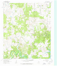
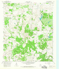
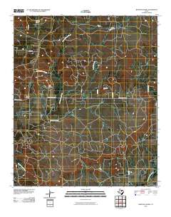
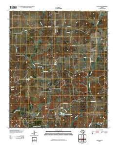
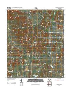
Editions of this 1964 Postoak Map
2 editions found
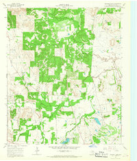
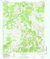
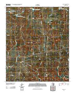
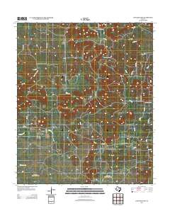
Historical Maps of Postoak Through Time
80 maps found
1960 Gibtown
Jack County, TX
1960 Wizard Wells
Jack County, TX
1961 Bartons Chapel
Jack County, TX
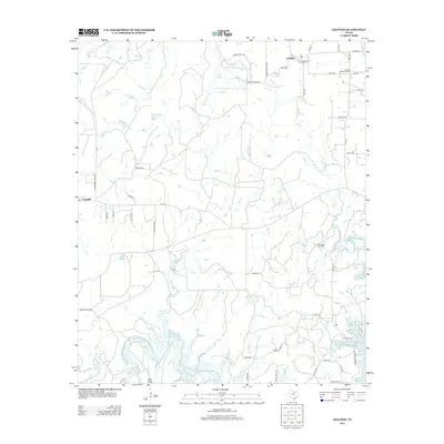
1961 Crafton
Jack County, TX
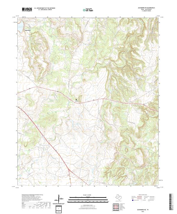
1961 Jacksboro NE
Jack County, TX
1962 Antelope Creek NE
Jack County, TX
1964 Antelope
Jack County, TX
1964 Cundiff
Jack County, TX
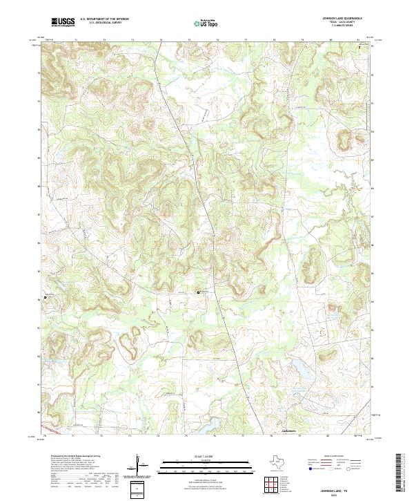
1964 Johnson Lake
Jack County, TX
1964 Lynn Creek
Jack County, TX
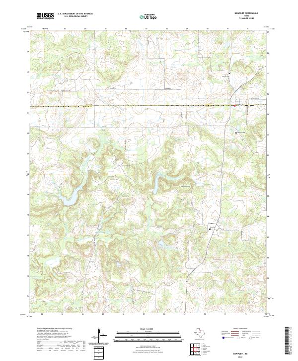
1964 Newport
Jack County, TX
1964 Postoak
Jack County, TX
1964 Senate
Jack County, TX
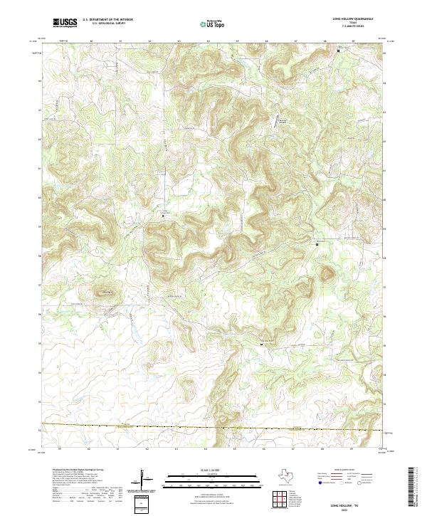
1967 Long Hollow
Jack County, TX
1982 Bartons Chapel
Jack County, TX
2010 Antelope
Jack County, TX
2010 Bartons Chapel
Jack County, TX
2010 Crafton
Jack County, TX
2010 Cundiff
Jack County, TX
2010 Gibtown
Jack County, TX
2010 Jacksboro NE
Jack County, TX
2010 Johnson Lake
Jack County, TX
2010 Long Hollow
Jack County, TX
2010 Newport
Jack County, TX
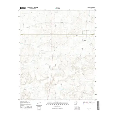
2010 Postoak
Jack County, TX
2010 Senate
Jack County, TX
2010 Wizard Wells
Jack County, TX
2011 Lynn Creek
Jack County, TX
2012 Antelope
Jack County, TX
2012 Bartons Chapel
Jack County, TX
2012 Cundiff
Jack County, TX
2012 Jacksboro NE
Jack County, TX
2012 Johnson Lake
Jack County, TX
2012 Long Hollow
Jack County, TX
2012 Lynn Creek
Jack County, TX
2012 Newport
Jack County, TX
2012 Postoak
Jack County, TX
2012 Senate
Jack County, TX
2013 Crafton
Jack County, TX
2013 Gibtown
Jack County, TX
2013 Wizard Wells
Jack County, TX
2016 Antelope
Jack County, TX
2016 Bartons Chapel
Jack County, TX
2016 Crafton
Jack County, TX
2016 Cundiff
Jack County, TX

2016 Gibtown
Jack County, TX
2016 Jacksboro NE
Jack County, TX

2016 Johnson Lake
Jack County, TX
2016 Long Hollow
Jack County, TX
2016 Lynn Creek
Jack County, TX
2016 Newport
Jack County, TX
2016 Postoak
Jack County, TX
2016 Senate
Jack County, TX
2016 Wizard Wells
Jack County, TX
2019 Antelope
Jack County, TX
2019 Bartons Chapel
Jack County, TX
2019 Crafton
Jack County, TX
2019 Cundiff
Jack County, TX
2019 Gibtown
Jack County, TX

2019 Jacksboro NE
Jack County, TX
2019 Johnson Lake
Jack County, TX

2019 Long Hollow
Jack County, TX
2019 Lynn Creek
Jack County, TX
2019 Newport
Jack County, TX
2019 Postoak
Jack County, TX
2019 Senate
Jack County, TX
2019 Wizard Wells
Jack County, TX
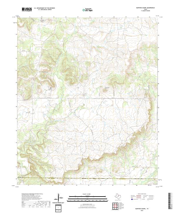
2022 Bartons Chapel
Jack County, TX
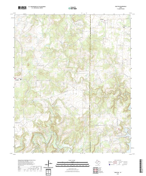
2022 Crafton
Jack County, TX
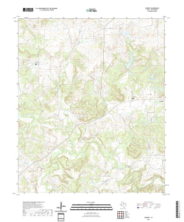
2022 Cundiff
Jack County, TX
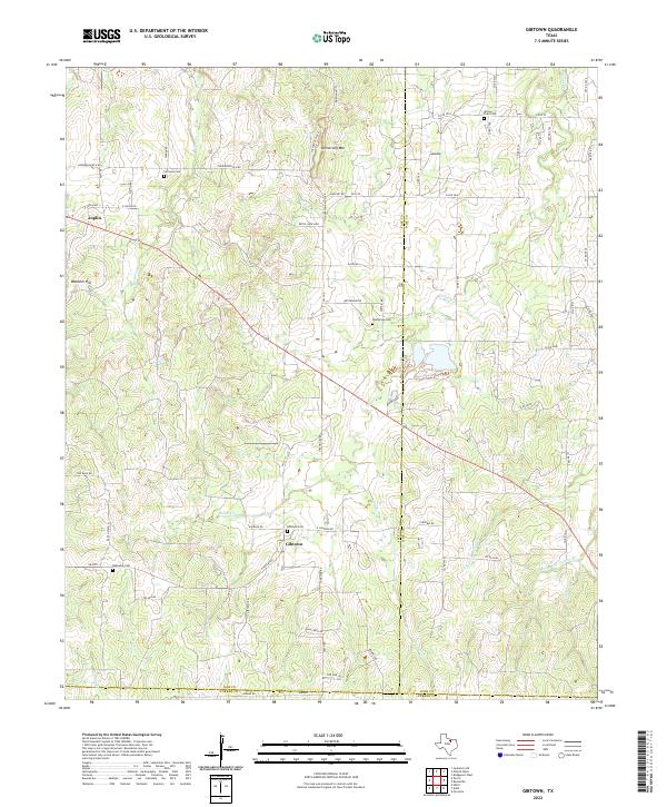
2022 Gibtown
Jack County, TX
2022 Jacksboro NE
Jack County, TX
2022 Johnson Lake
Jack County, TX
2022 Long Hollow
Jack County, TX
2022 Newport
Jack County, TX
2022 Postoak
Jack County, TX
2022 Senate
Jack County, TX
2022 Wizard Wells
Jack County, TX

2023 Antelope
Jack County, TX
2023 Lynn Creek
Jack County, TX