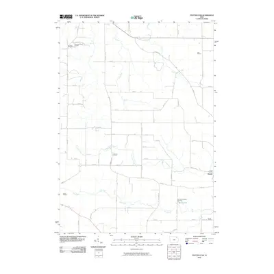
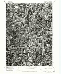
2010 Map of Postville NW
USGS Topo · Published 2010About this map
Moneek anchors the eastern edge of this Winneshiek County landscape, situated near the winding course of the North Fork Yellow River. The area is characterized by an exceptionally high density of small burial grounds that suggest a deeply rooted settlement history, including the Norwegian Methodist Cemetery and the uniquely named Roy Schultz Property Cemetery. These sites are linked by a network of secondary roads such as Frankville Rd and Washington Prairie Rd, which follow the natural contours of the terrain between the Trout River and the Yellow River. Genealogists will find significant value in the distribution of family and community landmarks like the Pagin Cemetery and Oak Hill Cemetery, which reflect the localized patterns of mid-western rural life as documented by the 2010 survey.
Find a feature on this map
54 named features on this map. Tap any name to fly to it.
Don’t see what you’re looking for? This feature index may not catch every label — zoom into the map to look around manually.
Map Details
Editions of this 2010 Postville NW Map
This is the sole edition of this map. No revisions or reprints were ever made.
Other maps of this area

1906 · Decorah
USGS Topo · 1:125,000

1958 · La Crosse
USGS Topo · 1:250,000

1961 · La Crosse
USGS Topo · 1:250,000

1965 · La Crosse
USGS Topo · 1:250,000
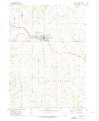
1971 · Postville
USGS Topo · 1:24,000
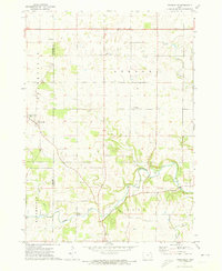
1971 · Frankville
USGS Topo · 1:24,000
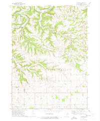
1971 · Hanover
USGS Topo · 1:24,000

1975 · Decorah 4 NW
USGS Topo · 1:24,000

1975 · Decorah 1 SW
USGS Topo · 1:24,000
1975 · Decorah 3 NE
USGS Topo · 1:24,000