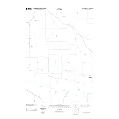
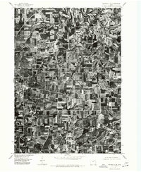
2013 Map of Postville NW
USGS Topo · Published 2013About this map
Moneek anchors the eastern edge of this agricultural landscape in northeastern Iowa, situated along the undulating drainage of the N Fork Yellow River. This 2013 survey illustrates a rural terrain defined by its watercourses, where the Yellow River flows through the southern reaches and the Trout River cuts across the northern corners. The land is partitioned by a meticulous grid of local roads, many of which bear local family or descriptive names like Oil Well Rd and Lincoln Hwy Rd. Smaller tributaries such as Trout Cr and Upper Br Yellow Cr intersect the farm plots, while Walden Pond provides a localized landmark in the southeast. The map reflects the enduring rural character of Winneshiek County, showing how modern infrastructure like Frankville Rd and Co Rd-W46 has integrated with the historical path of the rivers.
Find a feature on this map
52 named features on this map. Tap any name to fly to it.
Don’t see what you’re looking for? This feature index may not catch every label — zoom into the map to look around manually.
Map Details
Editions of this 2013 Postville NW Map
This is the sole edition of this map. No revisions or reprints were ever made.
Other maps of this area

1906 · Decorah
USGS Topo · 1:125,000

1958 · La Crosse
USGS Topo · 1:250,000

1961 · La Crosse
USGS Topo · 1:250,000

1965 · La Crosse
USGS Topo · 1:250,000
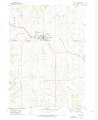
1971 · Postville
USGS Topo · 1:24,000
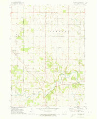
1971 · Frankville
USGS Topo · 1:24,000
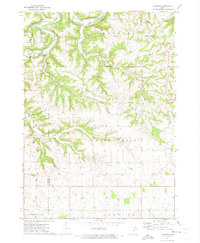
1971 · Hanover
USGS Topo · 1:24,000

1975 · Decorah 4 NW
USGS Topo · 1:24,000

1975 · Decorah 1 SW
USGS Topo · 1:24,000
1975 · Decorah 3 NE
USGS Topo · 1:24,000