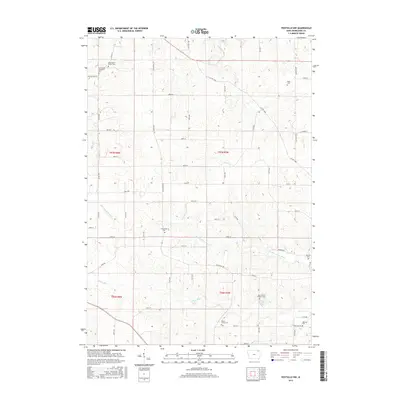
2015 Map of Postville NW
USGS Topo · Published 2015About this map
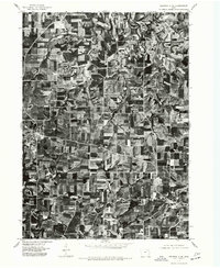
Washington Prairie Cem and the Norwegian Methodist Cem sit near the northern edge of this landscape, marking the long-established cultural presence in Winneshiek County. The terrain is defined by the winding course of the Yellow River and its tributary, the N Fork Yellow River, which carve through the Iowa countryside. These waterways, along with the Trout River and Trout Cr, dictated the placement of early homesteads and cemeteries.
Find a feature on this map
58 named features on this map. Tap any name to fly to it.
Don’t see what you’re looking for? This feature index may not catch every label — zoom into the map to look around manually.
Map Details
Editions of this 2015 Postville NW Map
This is the sole edition of this map. No revisions or reprints were ever made.
Other maps of this area

1906 · Decorah
USGS Topo · 1:125,000

1958 · La Crosse
USGS Topo · 1:250,000

1961 · La Crosse
USGS Topo · 1:250,000

1965 · La Crosse
USGS Topo · 1:250,000
1971 · Postville
USGS Topo · 1:24,000
1971 · Frankville
USGS Topo · 1:24,000
1971 · Hanover
USGS Topo · 1:24,000

1975 · Decorah 4 NW
USGS Topo · 1:24,000

1975 · Decorah 1 SW
USGS Topo · 1:24,000
1975 · Decorah 3 NE
USGS Topo · 1:24,000