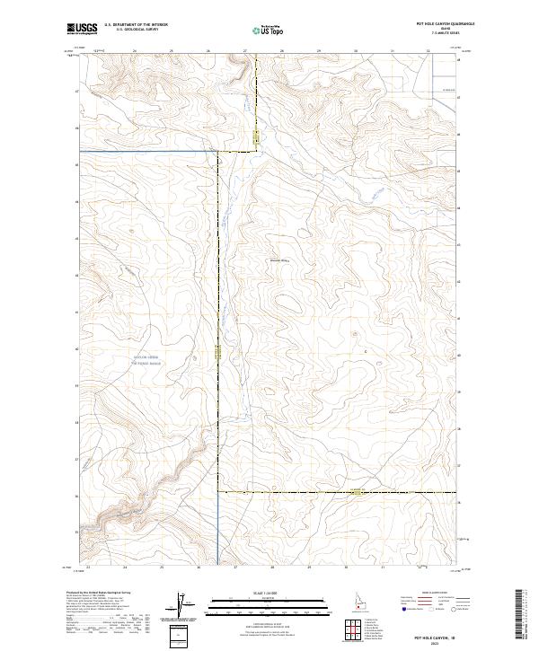
2023 Map of Pot Hole Canyon
USGS Topo · Published 2023About this map
The Bruneau Desert landscape of Idaho is defined by its vast open spaces and strategic government installations. A significant portion of this terrain is occupied by the Saylor Creek Air Force Range, which spans across the boundary of Owyhee and Elmore counties. This area of the desert is characterized by the ephemeral drainage of Pot Hole Creek, which snakes through the eponymous Pot Hole Canyon in the southern reaches of the quadrangle. The map highlights the intersection of modern military land use with the natural topography of the high desert, showing the various road systems such as Pothole Rd that provide access through this regulated environment.
Find a feature on this map
2 named features on this map. Tap any name to fly to it.
Don’t see what you’re looking for? This feature index may not catch every label — zoom into the map to look around manually.
Map Details
Editions of this 2023 Pot Hole Canyon Map
This is the sole edition of this map. No revisions or reprints were ever made.
Other maps of this area

1947 · Indian Cove
USGS Topo · 1:24,000

1947 · Hammett
USGS Topo · 1:24,000

1947 · Glenns Ferry
USGS Topo · 1:24,000

1948 · Hammett
USGS Topo · 1:24,000

1948 · Glenns Ferry
USGS Topo · 1:24,000

1948 · Indian Cove
USGS Topo · 1:24,000

1948 · Indian Cove
USGS Topo · 1:62,500

1948 · Glenns Ferry
USGS Topo · 1:62,500

1948 · Pence Butte
USGS Topo · 1:24,000

1948 · Grindstone Butte
USGS Topo · 1:24,000