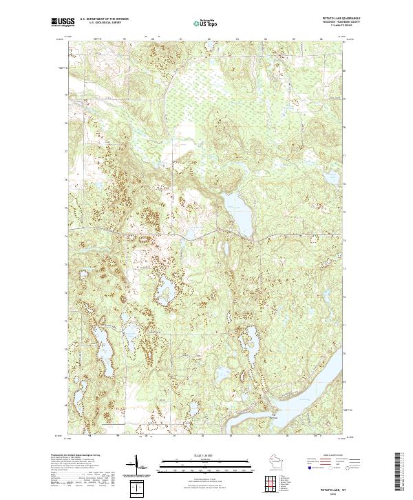
2022 Map of Potato Lake
USGS Topo · Published 2022About this map
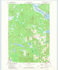
Potato Lake and the surrounding glacial wetlands of Washburn County define this northern Wisconsin landscape. The terrain is characterized by a dense network of water bodies, including Crystal Lake, Seymour Lake, and the expansive Long Lake which dominates the southeastern corner. A distinctive geological constriction known as The Narrows separates segments of the larger waterways, while smaller features like Glendenning Lake and Dugan Lake are interspersed among unnamed depressions and marshlands.
Find a feature on this map
52 named features on this map. Tap any name to fly to it.
Don’t see what you’re looking for? This feature index may not catch every label — zoom into the map to look around manually.
Map Details
Editions of this 2022 Potato Lake Map
This is the sole edition of this map. No revisions or reprints were ever made.
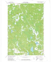
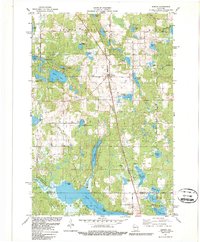
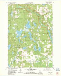
Historical Maps of Madge Through Time
20 maps found
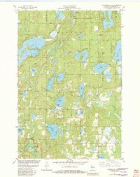
1947 Chittamo
Washburn County, WI

1949 Chittamo
Washburn County, WI
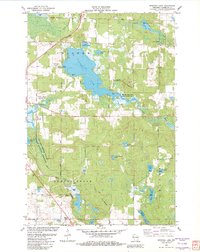
1971 Bean Lake
Washburn County, WI
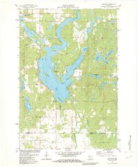
1971 Potato Lake
Washburn County, WI
1971 Stanberry East
Washburn County, WI
1971 Stanberry West
Washburn County, WI
1981 Sarona
Washburn County, WI
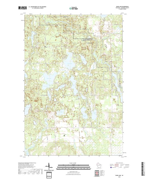
1982 Dunn Lake
Washburn County, WI
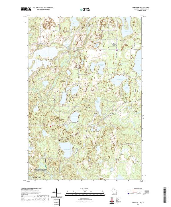
1982 Horseshoe Lake
Washburn County, WI
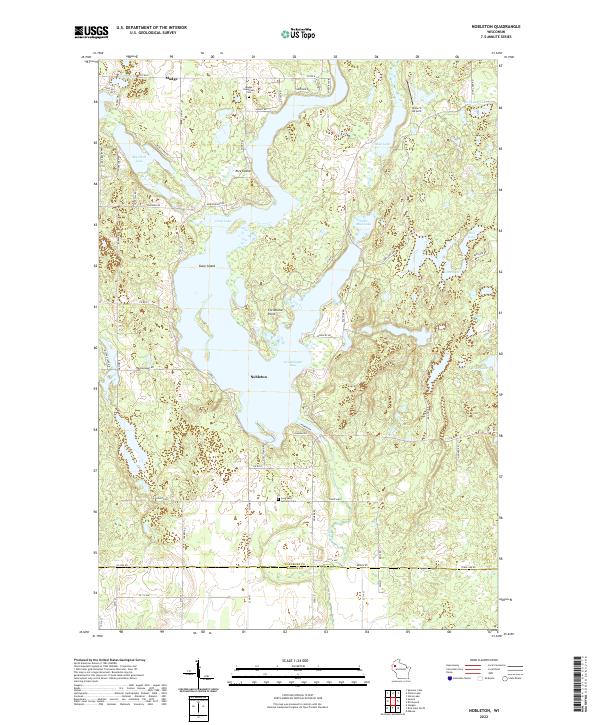
1982 Nobleton
Washburn County, WI
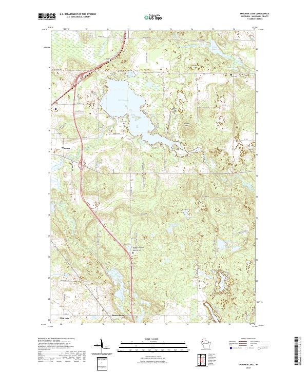
1982 Spooner Lake
Washburn County, WI
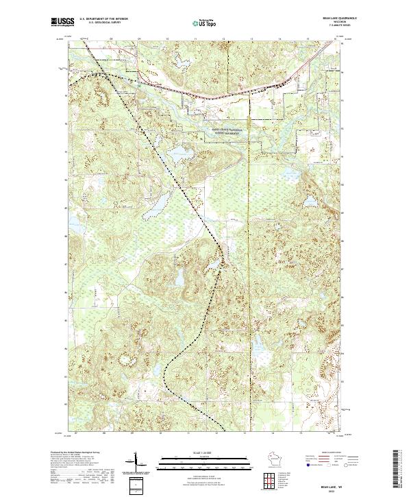
2022 Bean Lake
Washburn County, WI
2022 Dunn Lake
Washburn County, WI
2022 Horseshoe Lake
Washburn County, WI
2022 Nobleton
Washburn County, WI
2022 Potato Lake
Washburn County, WI
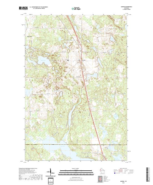
2022 Sarona
Washburn County, WI
2022 Spooner Lake
Washburn County, WI
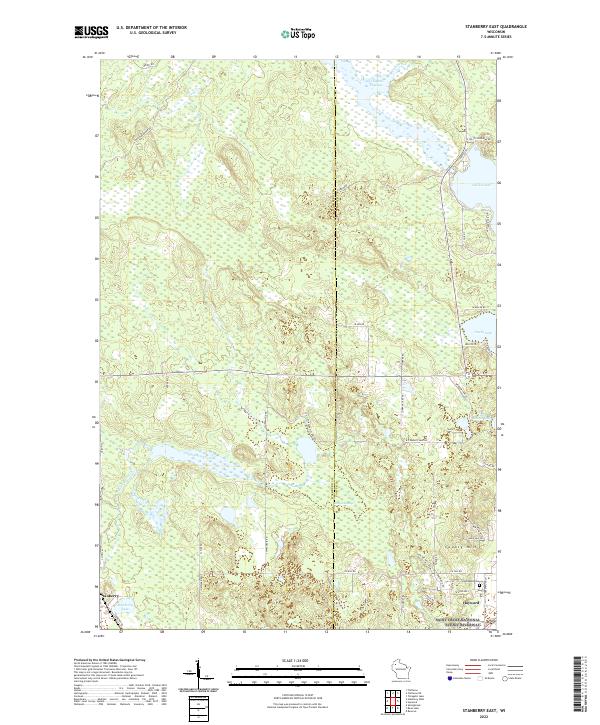
2022 Stanberry East
Washburn County, WI
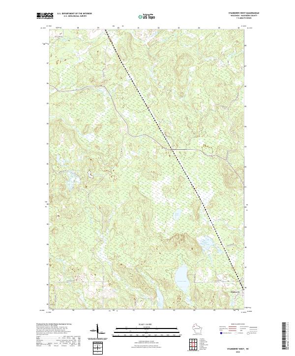
2022 Stanberry West
Washburn County, WI