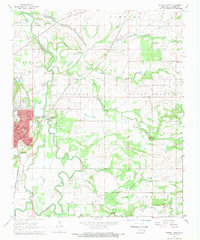
1968 Map of Poteau East
USGS Topo · Published 1969About this map
Poteau serves as the focal point of this Eastern Oklahoma landscape, positioned at a critical junction of the Kansas City Southern and St. Louis-San Francisco railroads. The town's urban grid, featuring streets like Dewey St and Oklahoma Ave, is bounded by the winding Poteau River and Town Creek. This 1960s survey illustrates a region where industrial infrastructure, such as the Shale Pit and Quarry, exists alongside local landmarks like the Double Branch Ch and High Sch. To the east, the terrain transitions into the named ridges of Kully Chaha and Monroe. The presence of a Beacon and Gaging Sta along the river highlights the importance of aerial and water management in this era of Le Flore County history. Smaller communities like Shady Point and Gilmore dot the surrounding bottomlands and hills, connected by a developing network of state and local routes.
Find a feature on this map
40 named features on this map. Tap any name to fly to it.
Don’t see what you’re looking for? This feature index may not catch every label — zoom into the map to look around manually.
Map Details
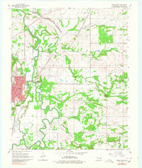
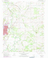
Editions of this 1968 Poteau East Map
3 editions found
Other maps of this area

1887 · Poteau Mountain #2
USGS Topo · 1:62,500

1887 · Greenwood
USGS Topo · 1:62,500

1890 · Fort Smith
USGS Topo · 1:125,000

1890 · Poteau Mountain
USGS Topo · 1:125,000

1899 · Poteau Mountain
USGS Topo · 1:125,000

1900 · Sallisaw
USGS Topo · 1:125,000

1900 · Winding Stair
USGS Topo · 1:125,000

1909 · Winding Stair
USGS Topo · 1:125,000

1911 · Sallisaw
USGS Topo · 1:125,000

1943 · Fort Smith
USGS Topo · 1:125,000