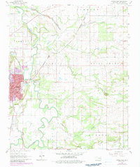
1968 Map of Poteau East
USGS Topo · Published 1983About this map
Poteau serves as the focal point of this late 1960s study, situated at the junction of the Kansas City Southern and Burlington Northern railroads. The landscape is defined by the winding course of the Poteau River, which features distinct hydrologic patterns such as The Cutoff and several tributary creeks like Gap Creek and Nail Creek. The town's industrial and civic infrastructure is clearly marked, including the Waterworks, a Sewage Disposal Pond, and the Courthouse.
Find a feature on this map
40 named features on this map. Tap any name to fly to it.
Don’t see what you’re looking for? This feature index may not catch every label — zoom into the map to look around manually.
Map Details
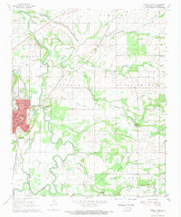
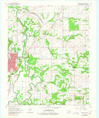
Editions of this 1968 Poteau East Map
3 editions found
Other maps of this area

1887 · Poteau Mountain #2
USGS Topo · 1:62,500

1887 · Greenwood
USGS Topo · 1:62,500

1890 · Fort Smith
USGS Topo · 1:125,000

1890 · Poteau Mountain
USGS Topo · 1:125,000

1899 · Poteau Mountain
USGS Topo · 1:125,000

1900 · Sallisaw
USGS Topo · 1:125,000

1900 · Winding Stair
USGS Topo · 1:125,000

1909 · Winding Stair
USGS Topo · 1:125,000

1911 · Sallisaw
USGS Topo · 1:125,000

1943 · Fort Smith
USGS Topo · 1:125,000