
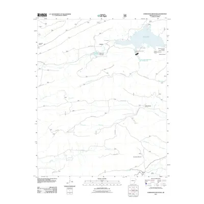
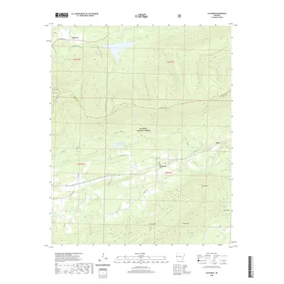
1899 Map of Poteau Mountain
USGS Topo · Published 1919About this map
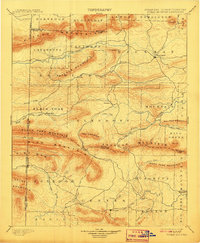
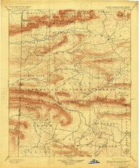
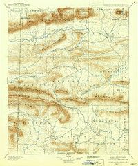
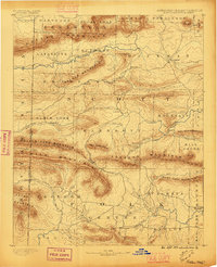
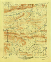
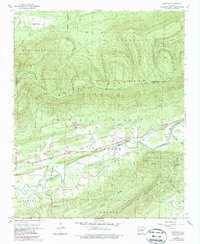
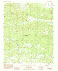
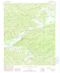
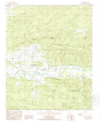
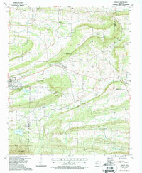
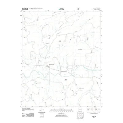
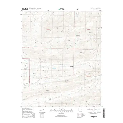
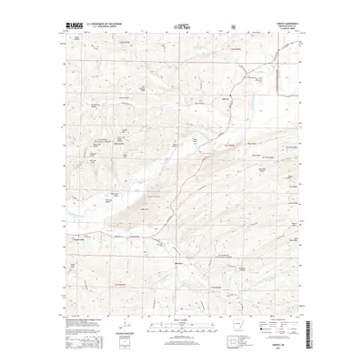
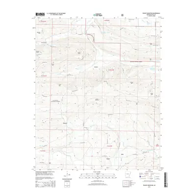
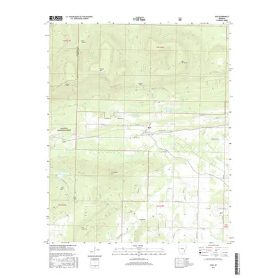
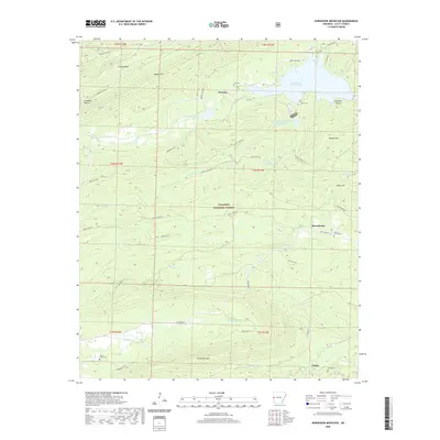
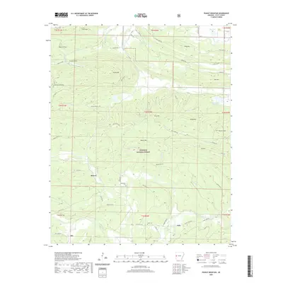
Poteau Mountain dominates the northern horizon of this 1887 survey, marking the borderlands between Arkansas and the Indian Territory. The map documents a rugged landscape where the Poteau River and the Quachita River carve their paths through the dense Arkansas National Forest. Scattered homesteads and small communities like Cauthron, Blansett, and Boles suggest a frontier economy tied closely to the land and its timber resources. To the south, Dallas and Cherry Hill serve as local anchors within the Ouachita Mountains. The map reveals the intricate topographic barriers of Rich Mountain and Black Fork Mountain, highlighting the gaps and creek crossings, such as Eagle Gap and Haws Creek, that were essential for movement through these highlands during the late nineteenth century.
Find a feature on this map
67 named features on this map. Tap any name to fly to it.
Don’t see what you’re looking for? This feature index may not catch every label — zoom into the map to look around manually.
Map Details
Editions of this 1899 Poteau Mountain Map
6 editions found

Historical Maps of Mena Through Time
75 maps found

1879 Poteau Mountain
Scott County, AR

1887 Mount Ida #2
Scott County, AR

1887 Poteau Mountain #1
Scott County, AR

1887 Poteau Mountain #2
Scott County, AR
1890 Poteau Mountain
Scott County, AR
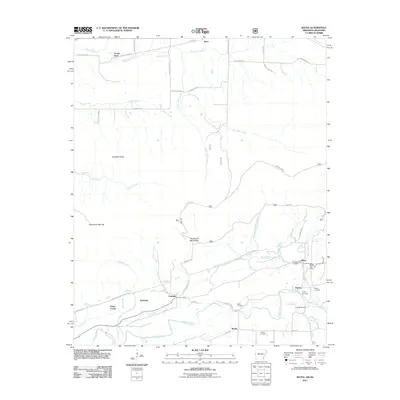
1899 Poteau Mountain
Scott County, AR
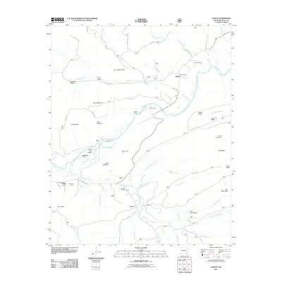
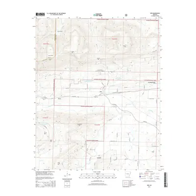
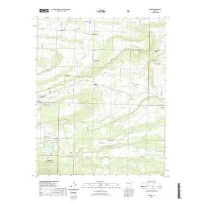
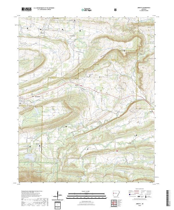
1948 Abbott
Scott County, AR
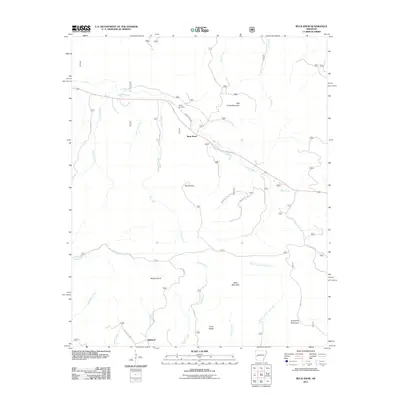
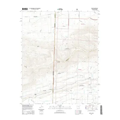
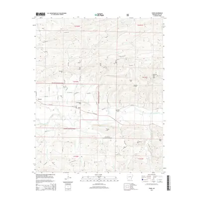
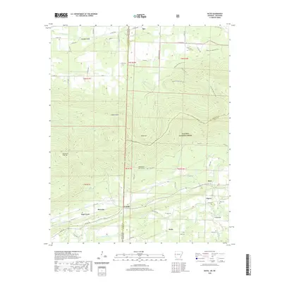
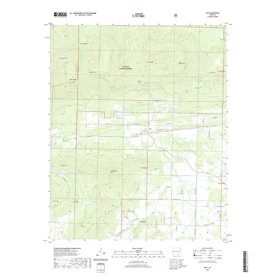
1958 Bates
Scott County, AR
1958 Bates
Scott County, AR
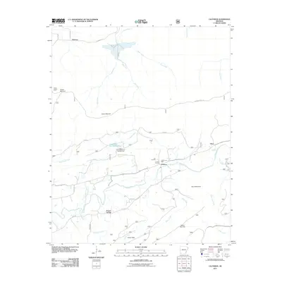
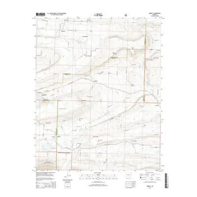
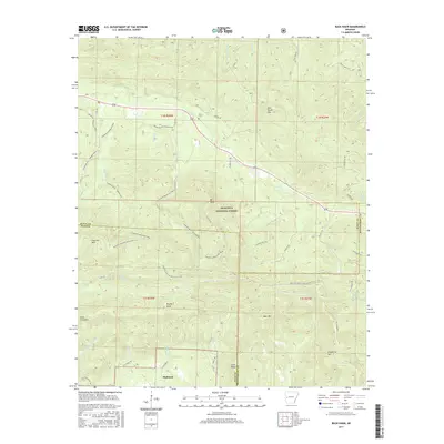
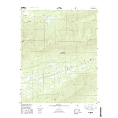
1958 Cauthron
Scott County, AR
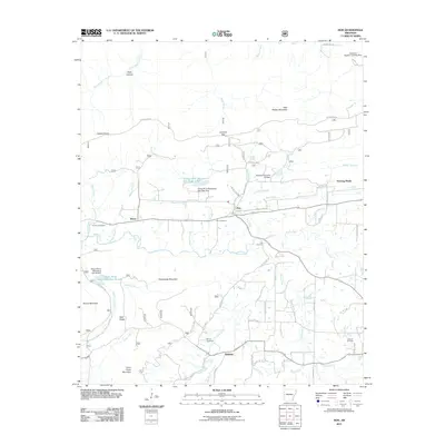
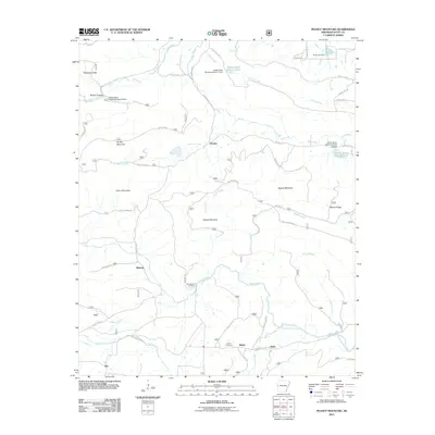
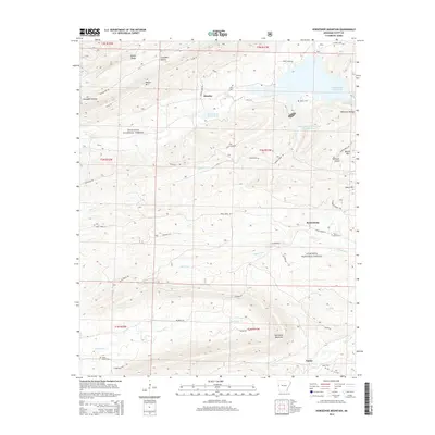
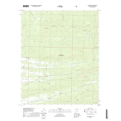
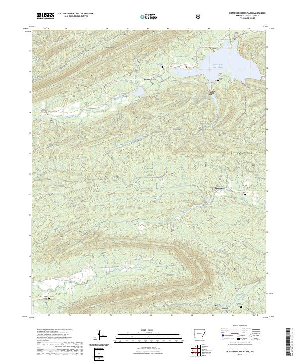
1958 Horseshoe Mountain
Scott County, AR
1960 Parks
Scott County, AR
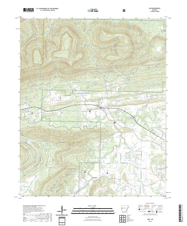
1983 Hon
Scott County, AR
1983 Peanut Mountain
Scott County, AR
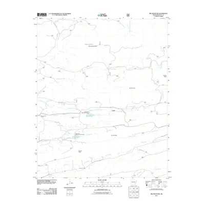
1985 Bee Mountain
Scott County, AR
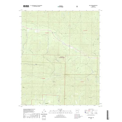
1985 Buck Knob
Scott County, AR
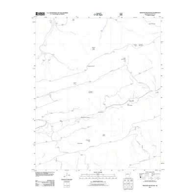
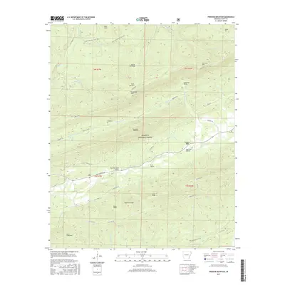
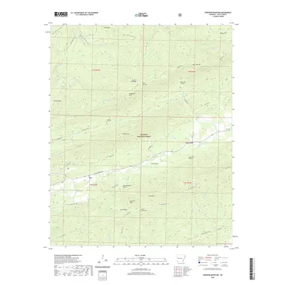
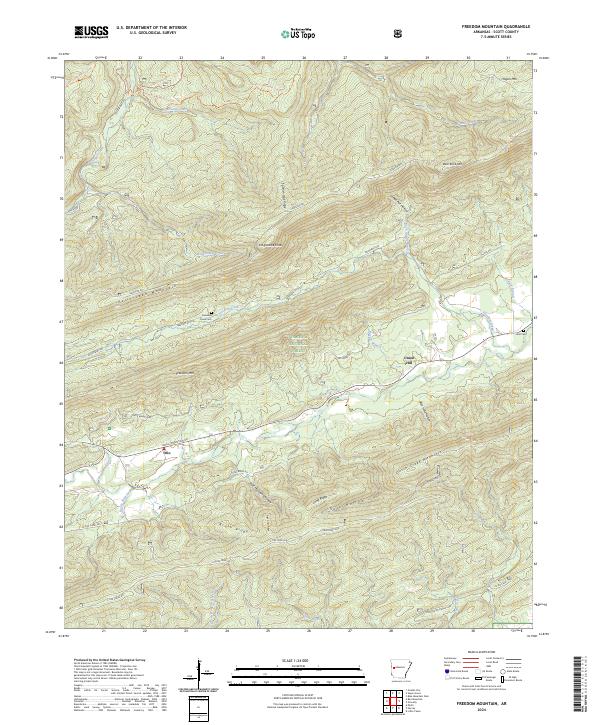
1985 Freedom Mountain
Scott County, AR
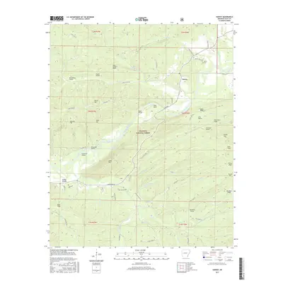
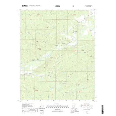
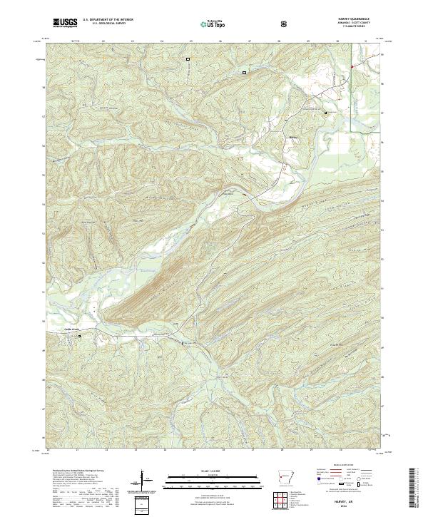
1985 Harvey
Scott County, AR
1985 Parks
Scott County, AR
1987 Abbott
Scott County, AR
2011 Abbott
Scott County, AR
2011 Bates
Scott County, AR
2011 Bee Mountain
Scott County, AR
2011 Buck Knob
Scott County, AR
2011 Cauthron
Scott County, AR
2011 Freedom Mountain
Scott County, AR
2011 Harvey
Scott County, AR
2011 Hon
Scott County, AR
2011 Horseshoe Mountain
Scott County, AR
2011 Parks
Scott County, AR
2011 Peanut Mountain
Scott County, AR
2014 Abbott
Scott County, AR
2014 Bates
Scott County, AR
2014 Bee Mountain
Scott County, AR
2014 Buck Knob
Scott County, AR
2014 Cauthron
Scott County, AR
2014 Freedom Mountain
Scott County, AR
2014 Harvey
Scott County, AR
2014 Hon
Scott County, AR
2014 Horseshoe Mountain
Scott County, AR
2014 Parks
Scott County, AR
2014 Peanut Mountain
Scott County, AR
2017 Abbott
Scott County, AR
2017 Bates
Scott County, AR
2017 Bee Mountain
Scott County, AR
2017 Buck Knob
Scott County, AR
2017 Cauthron
Scott County, AR
2017 Freedom Mountain
Scott County, AR
2017 Harvey
Scott County, AR
2017 Hon
Scott County, AR
2017 Horseshoe Mountain
Scott County, AR
2017 Parks
Scott County, AR
2017 Peanut Mountain
Scott County, AR
2020 Abbott
Scott County, AR
2020 Bates
Scott County, AR
2020 Bee Mountain
Scott County, AR
2020 Buck Knob
Scott County, AR
2020 Cauthron
Scott County, AR
2020 Freedom Mountain
Scott County, AR
2020 Harvey
Scott County, AR
2020 Hon
Scott County, AR
2020 Horseshoe Mountain
Scott County, AR
2020 Parks
Scott County, AR
2020 Peanut Mountain
Scott County, AR
2024 Abbott
Scott County, AR
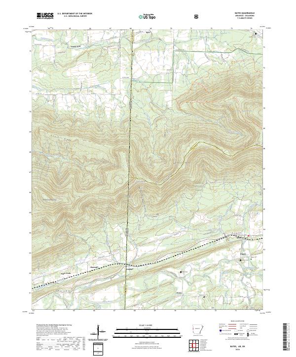
2024 Bates
Scott County, AR
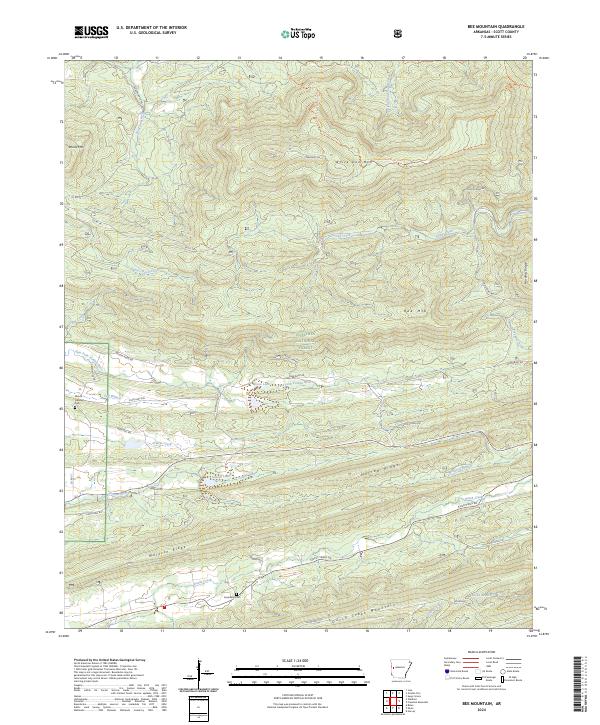
2024 Bee Mountain
Scott County, AR
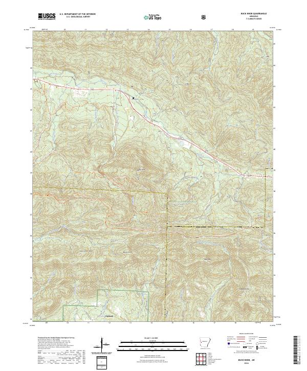
2024 Buck Knob
Scott County, AR
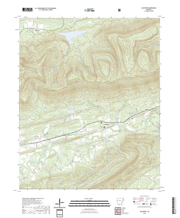
2024 Cauthron
Scott County, AR
2024 Freedom Mountain
Scott County, AR
2024 Harvey
Scott County, AR
2024 Hon
Scott County, AR
2024 Horseshoe Mountain
Scott County, AR
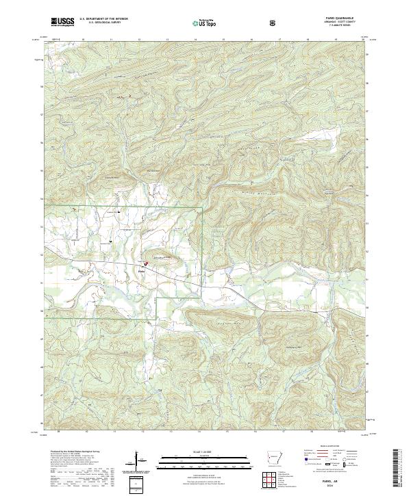
2024 Parks
Scott County, AR
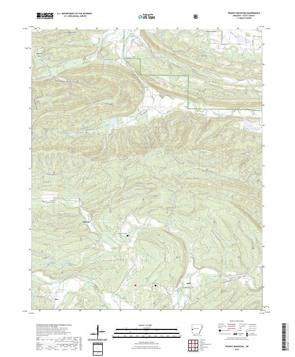
2024 Peanut Mountain
Scott County, AR