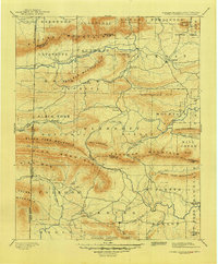
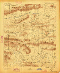
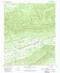
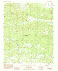
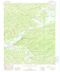
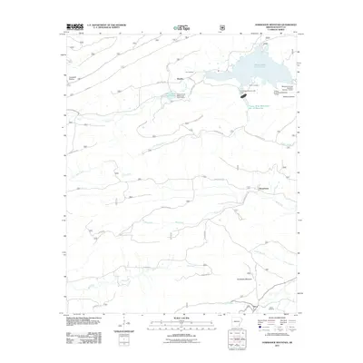
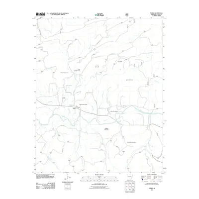
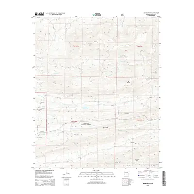
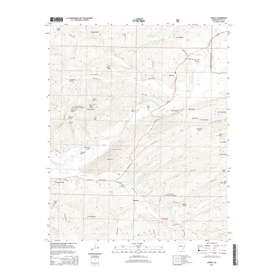
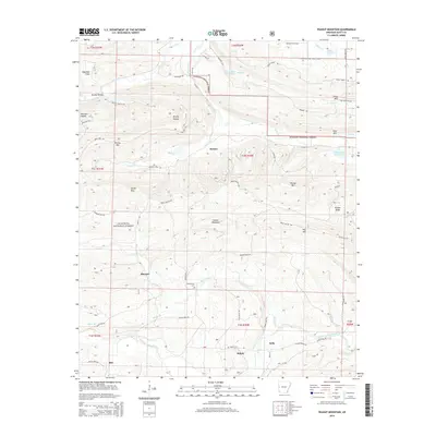
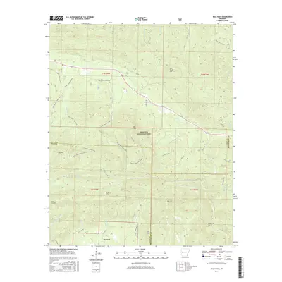
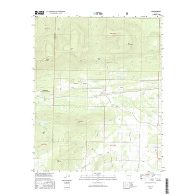
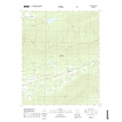
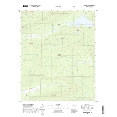
1899 Map of Poteau Mountain
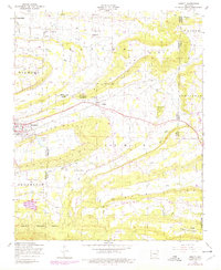
USGS Topo · Published 1948About this map
The Indian Territory Arkansas boundary line defines the western edge of this 1899 survey, marking the transition between the Choctaw Nation and Scott County. The landscape is dominated by heavy ridges, where the Poteau Mountain and Black Fork Mountain ranges shelter narrow valleys. These corridors served as the primary routes for early settlement and transportation, notably the Arkansas Western Railroad which connects the regional hub of Waldron to the surrounding timber and coal lands.
Find a feature on this map
69 named features on this map. Tap any name to fly to it.
Don’t see what you’re looking for? This feature index may not catch every label — zoom into the map to look around manually.
Map Details
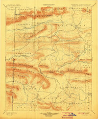
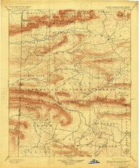
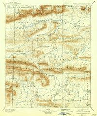
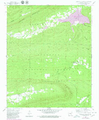
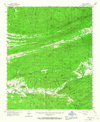
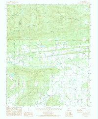
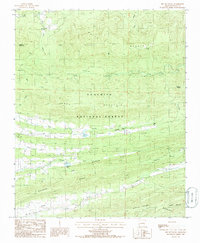
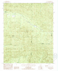
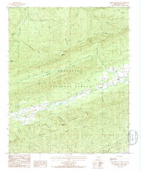
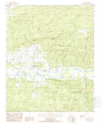
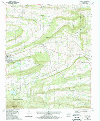
Editions of this 1899 Poteau Mountain Map
6 editions found


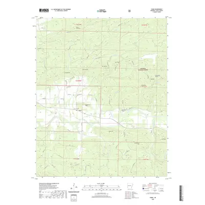
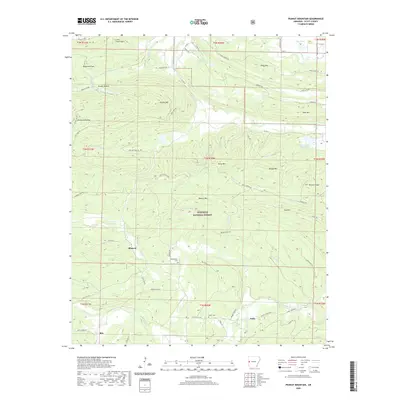
Historical Maps of Mena Through Time
75 maps found

1879 Poteau Mountain
Scott County, AR

1887 Mount Ida #2
Scott County, AR

1887 Poteau Mountain #1
Scott County, AR

1887 Poteau Mountain #2
Scott County, AR
1890 Poteau Mountain
Scott County, AR
1899 Poteau Mountain
Scott County, AR
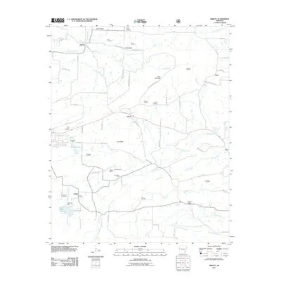
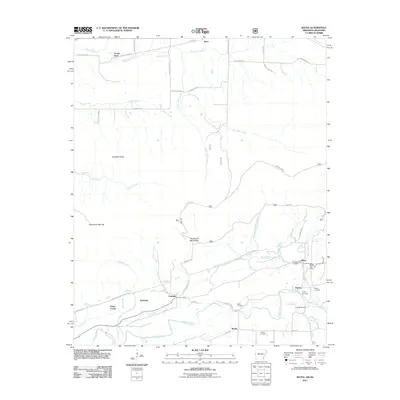
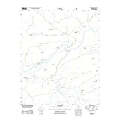
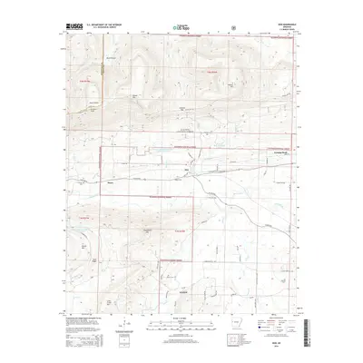
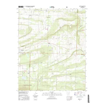
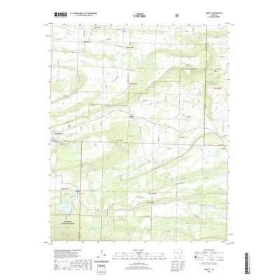
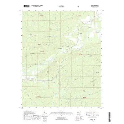
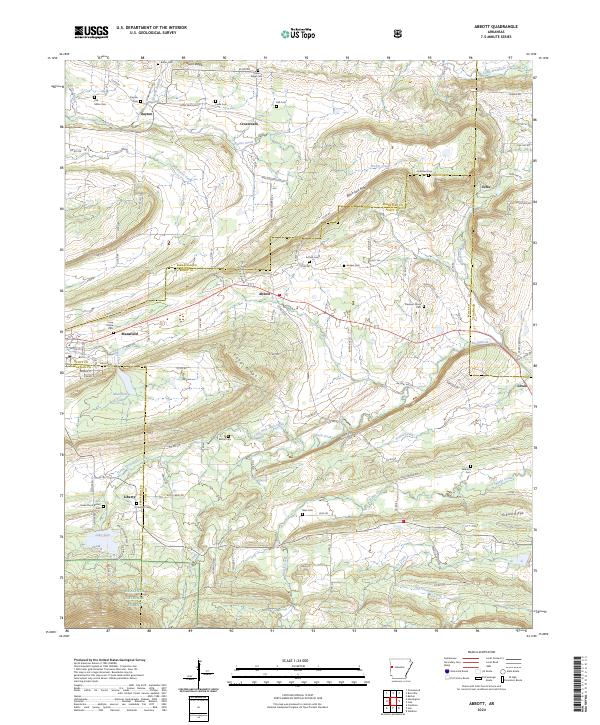
1948 Abbott
Scott County, AR
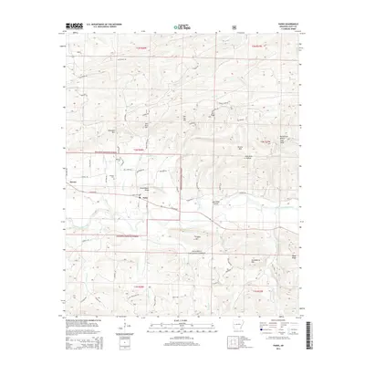
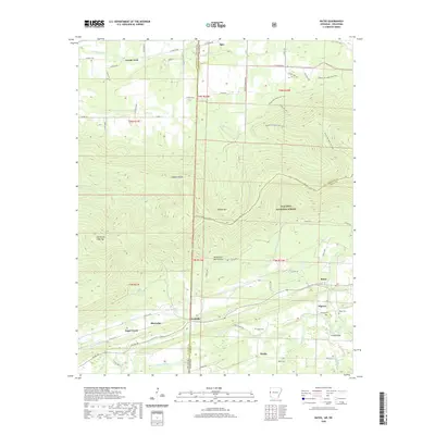
1958 Bates
Scott County, AR
1958 Bates
Scott County, AR
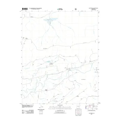
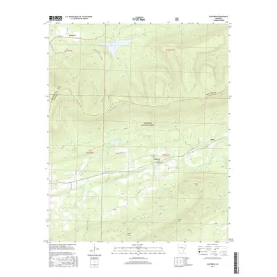
1958 Cauthron
Scott County, AR
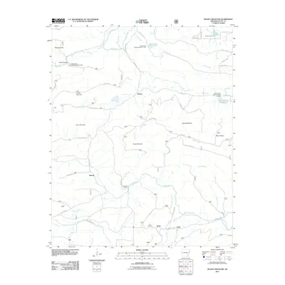
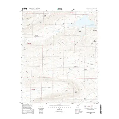
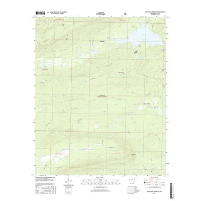
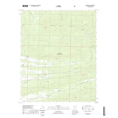
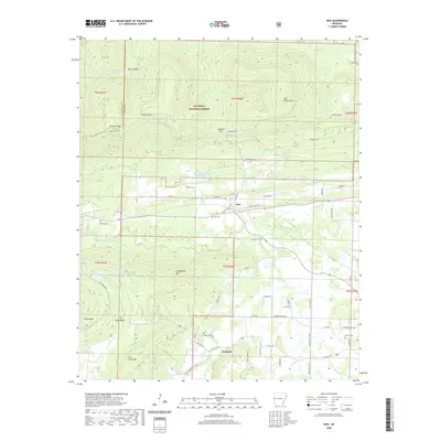
1958 Horseshoe Mountain
Scott County, AR
1960 Parks
Scott County, AR
1983 Hon
Scott County, AR
1983 Peanut Mountain
Scott County, AR
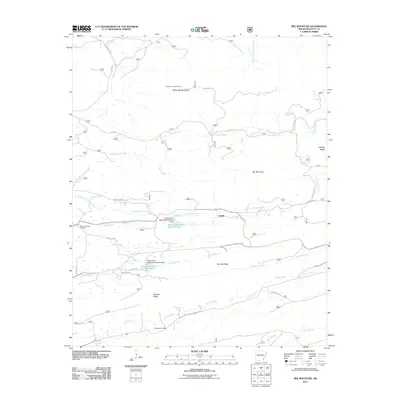
1985 Bee Mountain
Scott County, AR
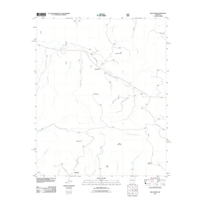
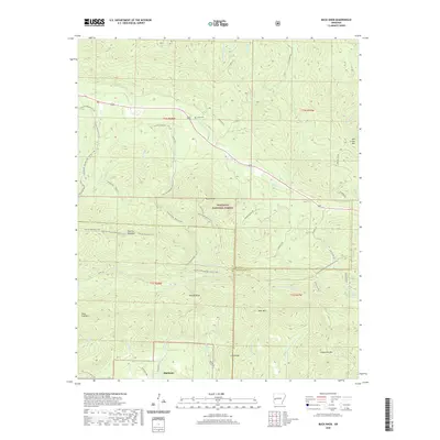
1985 Buck Knob
Scott County, AR
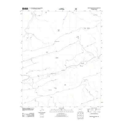
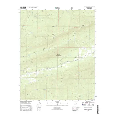
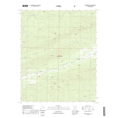
1985 Freedom Mountain
Scott County, AR
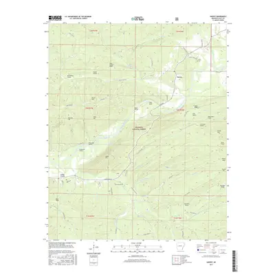
1985 Harvey
Scott County, AR
1985 Parks
Scott County, AR
1987 Abbott
Scott County, AR
2011 Abbott
Scott County, AR
2011 Bates
Scott County, AR
2011 Bee Mountain
Scott County, AR
2011 Buck Knob
Scott County, AR
2011 Cauthron
Scott County, AR
2011 Freedom Mountain
Scott County, AR
2011 Harvey
Scott County, AR
2011 Hon
Scott County, AR
2011 Horseshoe Mountain
Scott County, AR
2011 Parks
Scott County, AR
2011 Peanut Mountain
Scott County, AR
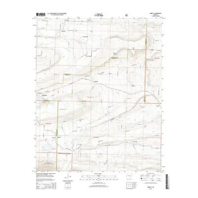
2014 Abbott
Scott County, AR
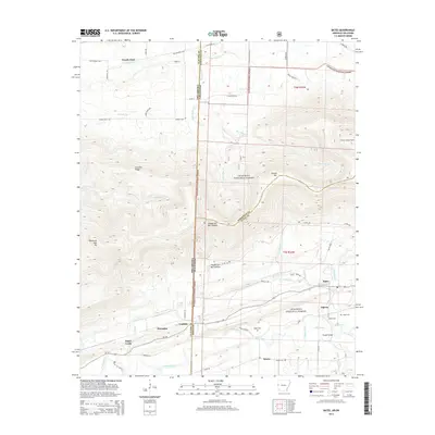
2014 Bates
Scott County, AR
2014 Bee Mountain
Scott County, AR
2014 Buck Knob
Scott County, AR
2014 Cauthron
Scott County, AR
2014 Freedom Mountain
Scott County, AR
2014 Harvey
Scott County, AR
2014 Hon
Scott County, AR
2014 Horseshoe Mountain
Scott County, AR
2014 Parks
Scott County, AR
2014 Peanut Mountain
Scott County, AR
2017 Abbott
Scott County, AR
2017 Bates
Scott County, AR
2017 Bee Mountain
Scott County, AR
2017 Buck Knob
Scott County, AR
2017 Cauthron
Scott County, AR
2017 Freedom Mountain
Scott County, AR
2017 Harvey
Scott County, AR
2017 Hon
Scott County, AR
2017 Horseshoe Mountain
Scott County, AR
2017 Parks
Scott County, AR
2017 Peanut Mountain
Scott County, AR
2020 Abbott
Scott County, AR
2020 Bates
Scott County, AR
2020 Bee Mountain
Scott County, AR
2020 Buck Knob
Scott County, AR
2020 Cauthron
Scott County, AR
2020 Freedom Mountain
Scott County, AR
2020 Harvey
Scott County, AR
2020 Hon
Scott County, AR
2020 Horseshoe Mountain
Scott County, AR
2020 Parks
Scott County, AR
2020 Peanut Mountain
Scott County, AR
2024 Abbott
Scott County, AR
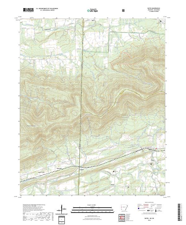
2024 Bates
Scott County, AR
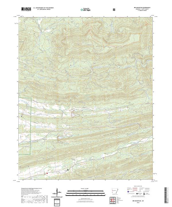
2024 Bee Mountain
Scott County, AR
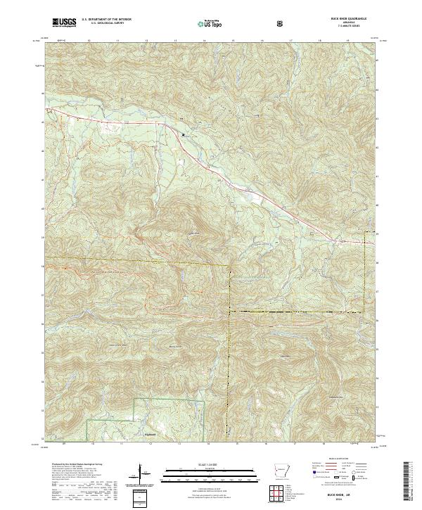
2024 Buck Knob
Scott County, AR
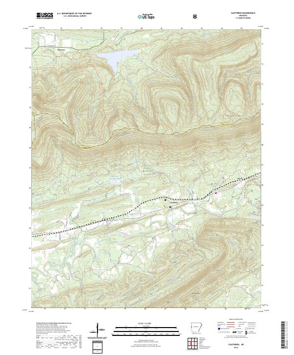
2024 Cauthron
Scott County, AR
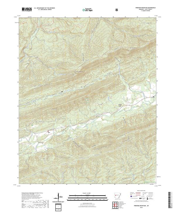
2024 Freedom Mountain
Scott County, AR
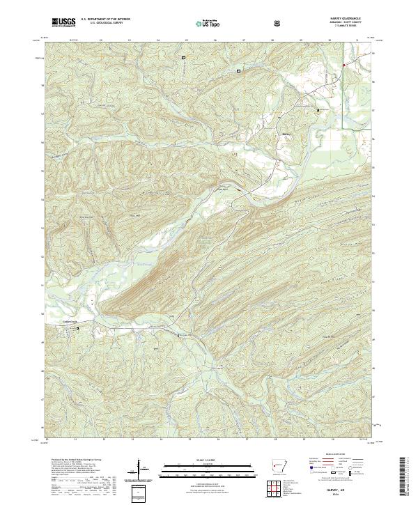
2024 Harvey
Scott County, AR
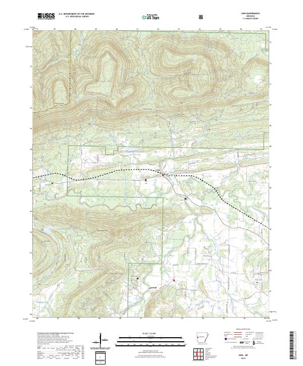
2024 Hon
Scott County, AR
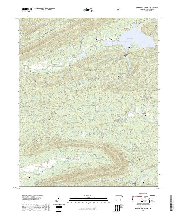
2024 Horseshoe Mountain
Scott County, AR
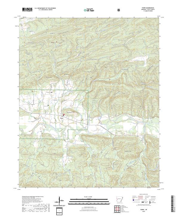
2024 Parks
Scott County, AR
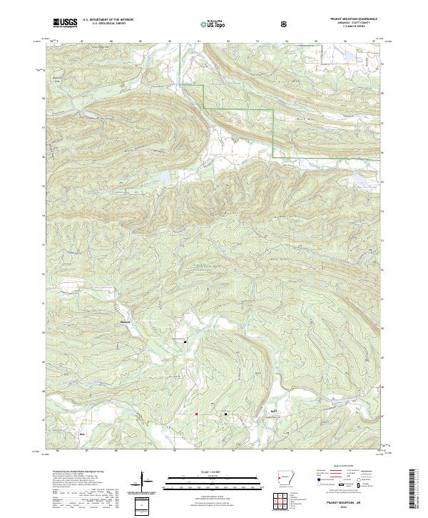
2024 Peanut Mountain
Scott County, AR