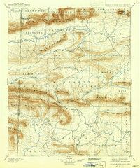
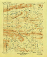
1899 Map of Poteau Mountain
USGS Topo · Published 1942About this map
Poteau Mountain and the surrounding ridgelines of the Ouachita National Forest dominate this late 19th-century landscape along the border of Arkansas and the Choctaw Nation. The map captures a moment when the rugged terrain of the Ouachitas was dotted with remote post offices and small river valley settlements. At Waldron, the county seat of Scott County, the East Fork and the Poteau River system provide the primary corridor for movement, while the south reveals the early layout of Dallas and Potter near the Quachita River. Historical details include the Indian Territory Arkansas boundary line, marking the edge of the Choctaw Nation before statehood, and distinctive local landmarks like Pilot Knob and Shut-In Mountain. Researchers can trace the network of old routes such as the Trail winding through the gaps of Rich Mountain and Black Fork Mountain.
Find a feature on this map
77 named features on this map. Tap any name to fly to it.
Don’t see what you’re looking for? This feature index may not catch every label — zoom into the map to look around manually.
Map Details
Editions of this 1899 Poteau Mountain Map
6 editions found

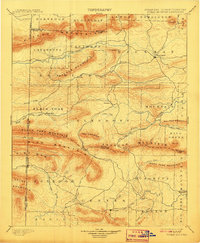
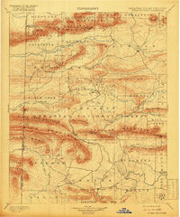
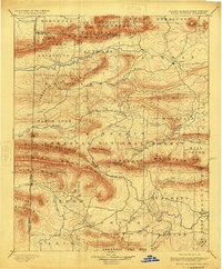
Other maps of this area

1879 · Poteau Mountain
USGS Topo · 1:62,500

1887 · Poteau Mountain #1
USGS Topo · 1:62,500

1887 · Mount Ida #2
USGS Topo · 1:62,500

1887 · Magazine Mountain #3
USGS Topo · 1:62,500

1887 · Magazine Mountain
USGS Topo · 1:62,500

1887 · Poteau Mountain #2
USGS Topo · 1:62,500

1887 · Greenwood
USGS Topo · 1:62,500

1890 · Magazine Mountain
USGS Topo · 1:125,000

1890 · Mount Ida
USGS Topo · 1:125,000

1890 · Fort Smith
USGS Topo · 1:125,000