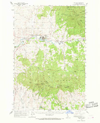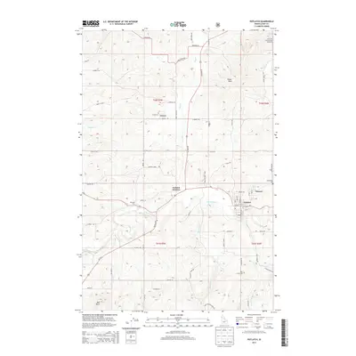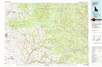
1981 Map of Potlatch
USGS Topo · Published 1982About this map
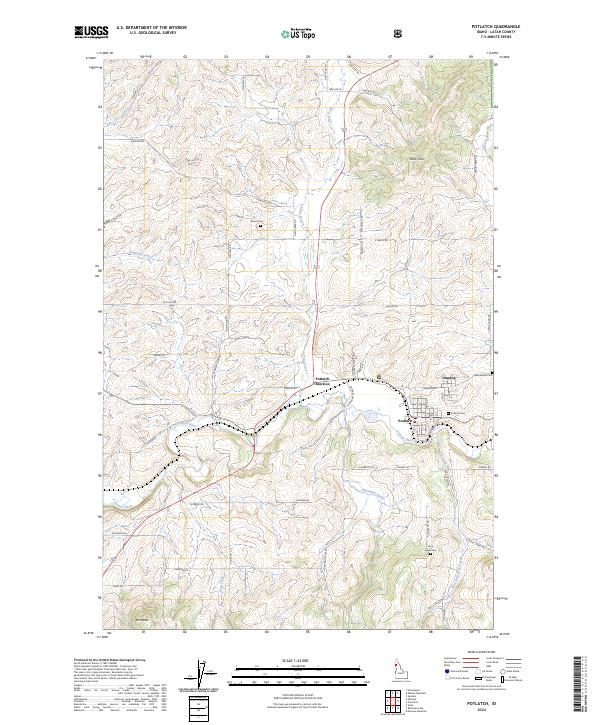
Moscow and its surrounding wheat-country uplands dominate the western portion of this early 1980s landscape, while the rugged timberlands of the St Joe National Forest rise to the north and east. The Palouse River and Potlatch River carve deep drainage patterns through the plateau, supporting a network of timber and rail towns such as Bovill, Deary, and Juliaetta. Industrial and natural resources are evident through features like the Claypit near Helmer and the Luella Mine, illustrating the area's dual reliance on extraction and agriculture. To the southeast, the massive Dworshak Reservoir fills the canyons of the North Fork Clearwater River, marking a significant man-made alteration to the local topography. This topographic record documents the transition from the rolling hills of the Palouse to the steep, forested ridges of the Clearwater mountains, connected by the steel of the Burlington Northern railroad.
Find a feature on this map
144 named features on this map. Tap any name to fly to it.
Don’t see what you’re looking for? This feature index may not catch every label — zoom into the map to look around manually.
Map Details
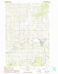
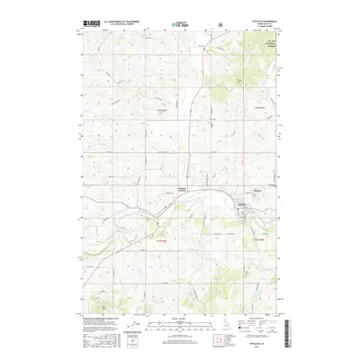
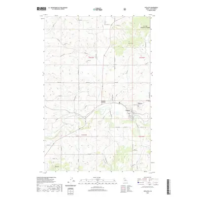
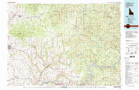
Editions of this 1981 Potlatch Map
2 editions found
Historical Maps of Moscow Through Time
9 maps found