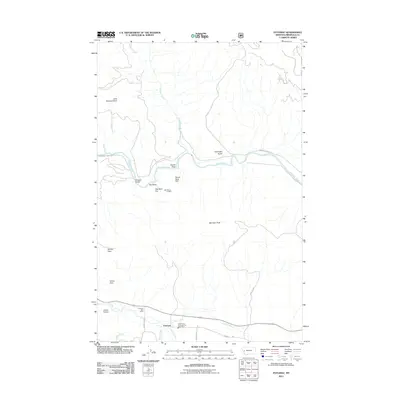
2011 Map of Potomac
USGS Topo · Published 2011About this map
Potomac sits in a valley at the confluence of several mountain streams in Missoula County, where the southern reaches of the Blackfoot River define the local topography. This 2011 survey illustrates a landscape of working timberlands and rural ranching, centered around the Potomac Post Office and the Greenough Potomac Fire Dept Sta 1. The map reveals evidence of local industry and water management, such as the SW Section 23 Mine and the R Wills Dam on Blixit Creek. To the north, the river is crossed by the Whitaker Bridge, connecting the valley to high terrain like Little Belmont Point and Goose Rock. Large expanses like Camas Prairie suggest the importance of open grazing lands within the valley floor, surrounded by prominent landmarks like Morrison Peak and Steves Pass.
Find a feature on this map
29 named features on this map. Tap any name to fly to it.
Don’t see what you’re looking for? This feature index may not catch every label — zoom into the map to look around manually.
Map Details
Editions of this 2011 Potomac Map
This is the sole edition of this map. No revisions or reprints were ever made.
Other maps of this area

1902 · Ovando
USGS Topo · 1:125,000

1903 · Bonner
USGS Topo · 1:125,000

1905 · Ovando
USGS Topo · 1:125,000

1919 · Drummond
USGS Topo · 1:125,000

1921 · Drummond
USGS Topo · 1:125,000

1921 · Elbow Lake
USGS Topo · 1:125,000

1947 · Butte
USGS Topo · 1:250,000

1955 · Choteau
USGS Topo · 1:250,000

1957 · Choteau
USGS Topo · 1:250,000

1958 · Butte
USGS Topo · 1:250,000