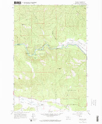
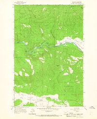
1965 Map of Potomac
USGS Topo · Published 1967About this map
The Blackfoot River carves a deep path through this mid-1960s landscape, serving as a primary corridor for both natural drainage and industrial transport. The Chicago Milwaukee St Paul and Pacific railroad follows the northern bank of the river, passing through the broad flats of Ninemile Prairie and past unique river features like Thibideau Rapids and Goose Rock. The presence of a Gaging Sta 3533 and the Whitaker Bridge highlight the infrastructure required to manage and traverse this waterway.
Find a feature on this map
32 named features on this map. Tap any name to fly to it.
Don’t see what you’re looking for? This feature index may not catch every label — zoom into the map to look around manually.
Map Details
Editions of this 1965 Potomac Map
2 editions found
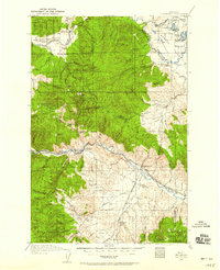
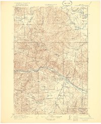
Other maps of this area

1902 · Ovando
USGS Topo · 1:125,000

1903 · Bonner
USGS Topo · 1:125,000

1905 · Ovando
USGS Topo · 1:125,000
1919 · Drummond
USGS Topo · 1:125,000
1921 · Drummond
USGS Topo · 1:125,000

1921 · Elbow Lake
USGS Topo · 1:125,000

1947 · Butte
USGS Topo · 1:250,000

1955 · Choteau
USGS Topo · 1:250,000

1957 · Choteau
USGS Topo · 1:250,000

1958 · Butte
USGS Topo · 1:250,000