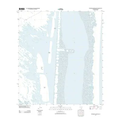
2013 Map of Potrero Cortado
USGS Topo · Published 2013About this map
Laguna Madre dominates this coastal landscape in Kenedy County, Texas, revealing the intricate geography of the barrier islands and shallow bays along the South Texas coast. The map illustrates a series of distinct peninsulas or grazing lands known locally as potreros, including Potrero Grande, Potrero Cortado, and Potrero de las Canelas. These features sit within the hypersaline lagoon environment, separated from the open Gulf of Mexico by the narrow coastal barrier.
Find a feature on this map
9 named features on this map. Tap any name to fly to it.
Don’t see what you’re looking for? This feature index may not catch every label — zoom into the map to look around manually.
Map Details
Editions of this 2013 Potrero Cortado Map
This is the sole edition of this map. No revisions or reprints were ever made.
Other maps of this area

1923 · Lopena Island
USGS Topo · 1:62,500

1923 · Saltillo Ranch
USGS Topo · 1:62,500

1928 · Sarita
USGS Topo · 1:125,000

1950 · Corpus Christi
USGS Topo · 1:250,000

1951 · Potrero Lopeno NW
USGS Topo · 1:24,000

1951 · Sarita 4 NE
USGS Topo · 1:24,000

1952 · Potrero Cortado
USGS Topo · 1:24,000

1952 · Yarborough Pass
USGS Topo · 1:24,000

1952 · Sarita 4 SE
USGS Topo · 1:24,000

1952 · Potrero Lopeno
USGS Topo · 1:62,500