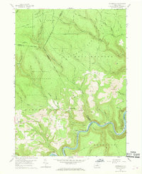
1959 Map of Pottersdale
USGS Topo · Published 1969About this map
Pottersdale sits at the heart of this landscape, surrounded by the convergence of several major forest boundaries including Moshannon State Forest and Sproul State Forest. The geography is defined by a series of steep drainages such as McCloskey Run and Lucas Run, which flow toward the southern loop of the Susquehanna River West Branch. This late 1950s survey captures a transition in land use, where extensive Strip Mine operations are prominently etched into the ridges above the river valleys, particularly around Cataract Run.
Find a feature on this map
48 named features on this map. Tap any name to fly to it.
Don’t see what you’re looking for? This feature index may not catch every label — zoom into the map to look around manually.
Map Details
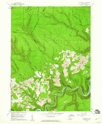
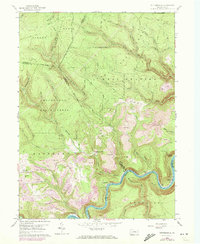
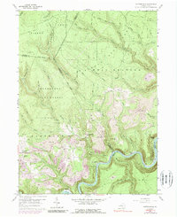
Editions of this 1959 Pottersdale Map
4 editions found
Other maps of this area

1928 · Snow Shoe
USGS Topo · 1:48,000

1929 · Karthaus
USGS Topo · 1:62,500

1931 · Show Shoe
USGS Topo · 1:62,500

1932 · Karthaus
USGS Topo · 1:62,500

1945 · Driftwood
USGS Topo · 1:48,000

1945 · Sinnemahoning
USGS Topo · 1:24,000

1945 · Driftwood
USGS Topo · 1:24,000

1946 · Renovo West
USGS Topo · 1:62,500

1946 · Keating
USGS Topo · 1:24,000

1947 · Sinnemahoning
USGS Topo · 1:24,000
Featured Places
- Karthaus Township, PA
- West Keating Township, PA
- East Keating Township, PA
- Burnside Township, PA
- Oak Hill, Karthaus Township