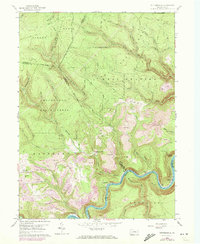
1959 Map of Pottersdale
USGS Topo · Published 1972About this map
The West Branch Susquehanna River carves a deep, winding path through this central Pennsylvania landscape, serving as a natural boundary between several counties and anchoring the local infrastructure. In the early 1970s, the terrain shows a heavy industrial imprint, with extensive Strip Mine operations concentrated south of the settlement at Pottersdale. These excavations contrast sharply with the preserved wilderness of the surrounding Sproul State Forest and Moshannon State Forest.
Find a feature on this map
45 named features on this map. Tap any name to fly to it.
Don’t see what you’re looking for? This feature index may not catch every label — zoom into the map to look around manually.
Map Details
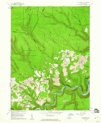
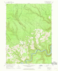
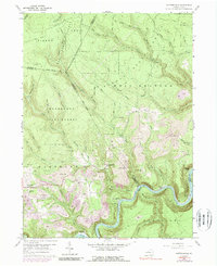
Editions of this 1959 Pottersdale Map
4 editions found
Other maps of this area

1928 · Snow Shoe
USGS Topo · 1:48,000

1929 · Karthaus
USGS Topo · 1:62,500

1931 · Show Shoe
USGS Topo · 1:62,500

1932 · Karthaus
USGS Topo · 1:62,500

1945 · Driftwood
USGS Topo · 1:48,000

1945 · Sinnemahoning
USGS Topo · 1:24,000

1945 · Driftwood
USGS Topo · 1:24,000

1946 · Renovo West
USGS Topo · 1:62,500

1946 · Keating
USGS Topo · 1:24,000

1947 · Sinnemahoning
USGS Topo · 1:24,000
Featured Places
- Karthaus Township, PA
- West Keating Township, PA
- East Keating Township, PA
- Burnside Township, PA
- Oak Hill, Karthaus Township