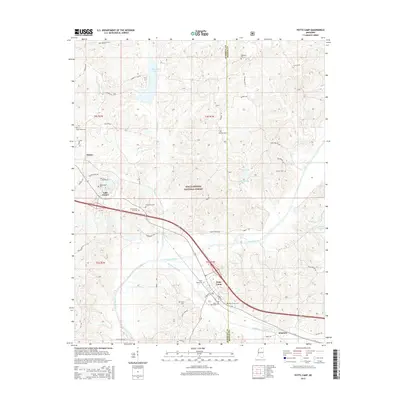
2015 Map of Potts Camp
USGS Topo · Published 2015About this map
Potts Camp and the surrounding Marshall County countryside are defined by the winding course of the Tippah River and Oaklimeter Creek. The landscape transition from the town center, marked by streets like S Center St and Church St, to the protected woods of the Holly Springs National Forest. Small settlements and family-named landmarks are frequent across the terrain, including Winborn and Waites. The map reveals a dense network of local history through its many burial grounds, such as Saint Mary Cem, Butler Cem, and Potts Camp Cem. Higher elevations like Pemberton Hill and Temperance Hill rise above the river bottoms, while water features like Chewalla Lake and Brady Lake provide distinct geographic anchors in this northern Mississippi territory.
Find a feature on this map
60 named features on this map. Tap any name to fly to it.
Don’t see what you’re looking for? This feature index may not catch every label — zoom into the map to look around manually.
Map Details
Editions of this 2015 Potts Camp Map
This is the sole edition of this map. No revisions or reprints were ever made.
Other maps of this area

1944 · Potts Camp
USGS Topo · 1:62,500

1945 · Potts Camp
USGS Topo · 1:62,500

1950 · Ashland
USGS Topo · 1:62,500

1953 · Holly Springs
USGS Topo · 1:62,500

1955 · Blue Mountain
USGS Topo · 1:62,500

1956 · Tupelo
USGS Topo · 1:250,000

1958 · Tupelo
USGS Topo · 1:250,000

1964 · Waterford
USGS Topo · 1:24,000

1964 · Holly Springs SE
USGS Topo · 1:24,000
1965 · Holly Springs
USGS Topo · 1:24,000