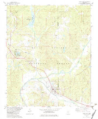
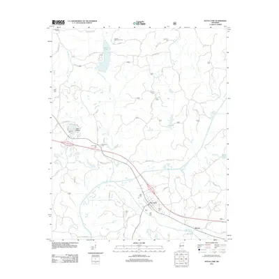
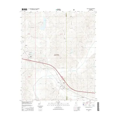
1982 Map of Potts Camp
USGS Topo · Published 1983About this map
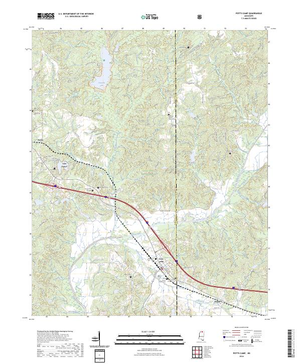
Holly Springs National Forest dominates the landscape of north-central Mississippi on this early 1980s survey. The area is defined by the winding course of the Tippah River and Oaklimeter Creek, where the Burlington Northern railroad serves the small communities of Potts Camp and Winborn. Local life is anchored by a network of country churches and cemeteries, including Bethany Ch, St Mary Ch, and Harmony Cem.
Find a feature on this map
30 named features on this map. Tap any name to fly to it.
Don’t see what you’re looking for? This feature index may not catch every label — zoom into the map to look around manually.
Map Details
Editions of this 1982 Potts Camp Map
This is the sole edition of this map. No revisions or reprints were ever made.
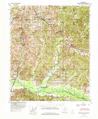
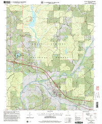
Historical Maps of Potts Camp Through Time
9 maps found
1944 Potts Camp
Marshall County, MS
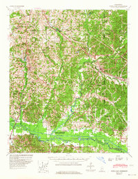
1945 Potts Camp
Marshall County, MS
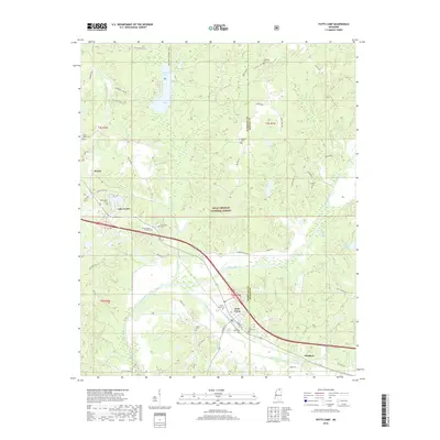
1982 Potts Camp
Marshall County, MS
2000 Potts Camp
Marshall County, MS
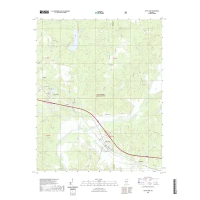
2012 Potts Camp
Marshall County, MS
2015 Potts Camp
Marshall County, MS
2018 Potts Camp
Marshall County, MS
2021 Potts Camp
Marshall County, MS
2024 Potts Camp
Marshall County, MS