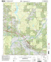
2000 Map of Potts Camp
USGS Topo · Published 2003About this map
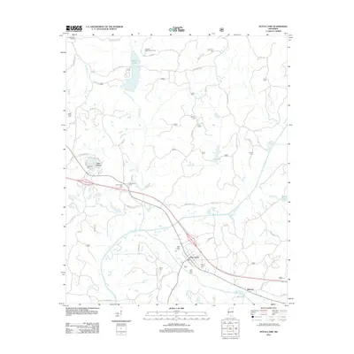
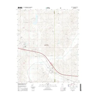
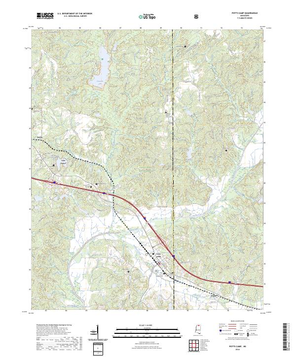
Potts Camp serves as the primary hub of this North Mississippi landscape, situated at the intersection of rail lines and regional roads. The town's character is defined by its proximity to the Tippah River and its role as a gateway to the southern reaches of the Holly Springs National Forest. Small settlements like Winborn and Waites dot the surrounding area, linked by a network of family-named roads including Lunati Road and Goldsmith Road.
Find a feature on this map
54 named features on this map. Tap any name to fly to it.
Don’t see what you’re looking for? This feature index may not catch every label — zoom into the map to look around manually.
Map Details
Editions of this 2000 Potts Camp Map
This is the sole edition of this map. No revisions or reprints were ever made.
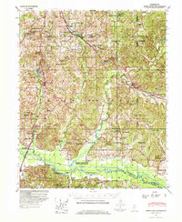
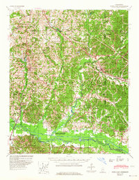
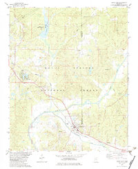
Historical Maps of Potts Camp Through Time
9 maps found
1944 Potts Camp
Marshall County, MS
1945 Potts Camp
Marshall County, MS
1982 Potts Camp
Marshall County, MS
2000 Potts Camp
Marshall County, MS
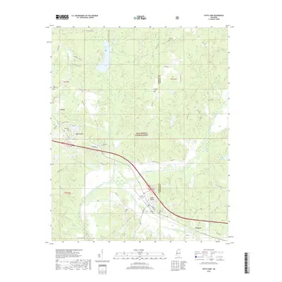
2012 Potts Camp
Marshall County, MS
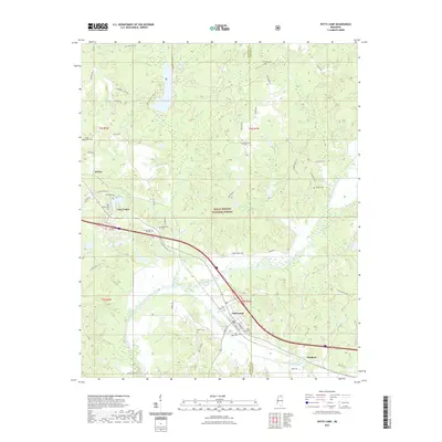
2015 Potts Camp
Marshall County, MS
2018 Potts Camp
Marshall County, MS
2021 Potts Camp
Marshall County, MS
2024 Potts Camp
Marshall County, MS