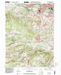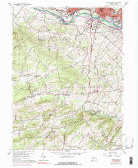
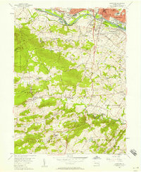
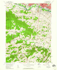
1956 Map of Pottstown
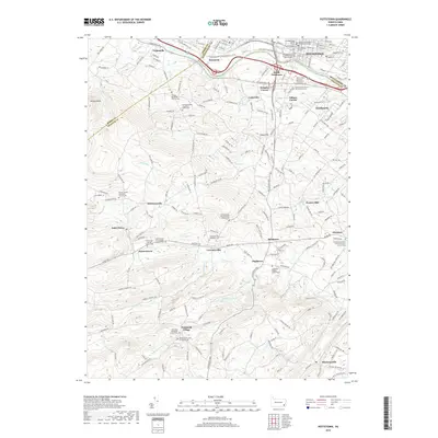
USGS Topo · Published 1990About this map
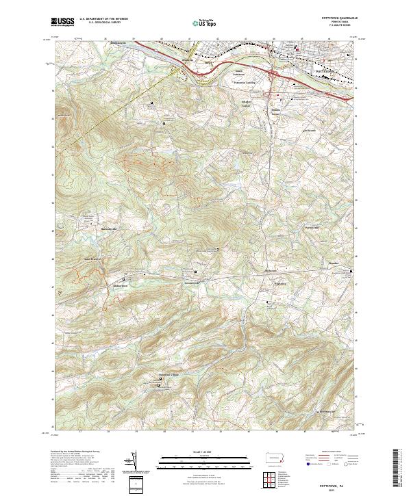
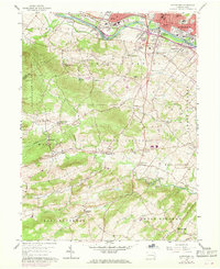
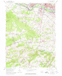
The Schuylkill River forms a natural boundary between Montgomery and Chester counties, anchoring a landscape where industrial centers like Pottstown and Stowe transition into the rolling hills of North Coventry and Warwick. The northern reach of the sheet is dominated by the heavy rail infrastructure of the Penn Central and Reading lines, which supported the region's historical manufacturing core. Moving south into French Creek State Park, the map reveals a more rural character defined by family-named landmarks and early settlements such as Coventryville and Knauertown. Numerous country churches and burial grounds, including St Peters Ch and Schenkel Cem, offer significant detail for genealogists. The network of smaller waterways like Pigeon Creek and Birch Run once powered local industry at sites like Porters Mill, while the Horseshoe Trail and Buzzard Trail trace the footpaths of the mid-century backcountry.
Find a feature on this map
57 named features on this map. Tap any name to fly to it.
Don’t see what you’re looking for? This feature index may not catch every label — zoom into the map to look around manually.
Map Details
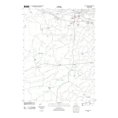
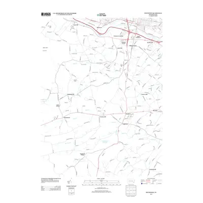
Editions of this 1956 Pottstown Map
5 editions found
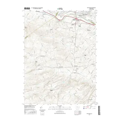
Historical Maps of Pottstown Through Time
7 maps found