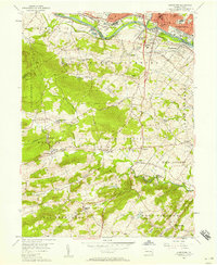
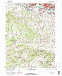
1956 Map of Pottstown
USGS Topo · Published 1957About this map
Industrial Pottstown and its surrounding townships in the mid-1950s show a landscape defined by the Schuylkill River and the competing lines of the Reading and Pennsylvania railroads. While the northern edge of the map focuses on the dense settlement of Stowe, South Pottstown, and Kenilworth, the southern half transitions into the wooded hills of French Creek State Park. Here, the terrain is marked by recreation and smaller settlements like St Peters and Knauertown along the banks of French Creek. The map documents a network of named crossroads and rural villages such as Coventryville, Pughtown, and Birchrunville, many of which maintain their 19th-century character. Significant local features include Camp Fern Brook and the Horseshoe Trail, illustrating the area's transition from a rail-and-river industrial hub to a region valued for its natural relief and historic hamlets.
Find a feature on this map
64 named features on this map. Tap any name to fly to it.
Don’t see what you’re looking for? This feature index may not catch every label — zoom into the map to look around manually.
Map Details
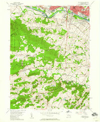
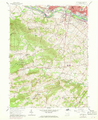
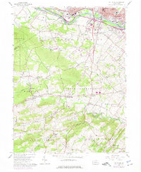
Editions of this 1956 Pottstown Map
5 editions found
Other maps of this area

1894 · Reading
USGS Topo · 1:62,500

1902 · Boyertown
USGS Topo · 1:62,500

1905 · Honey Brook
USGS Topo · 1:62,500

1906 · Phoenixville
USGS Topo · 1:62,500

1907 · Honeybrook
USGS Topo · 1:62,500

1913 · Reading
USGS Topo · 1:62,500

1915 · Reading
USGS Topo · 1:62,500

1941 · Honeybrook
USGS Topo · 1:62,500
1943 · Sassamansville
USGS Topo · 1:31,680
1943 · Boyertown
USGS Topo · 1:31,680